Coledale Area, Coledale Postcode(2515) & Map in Coledale, Illawarra, NSW
Coledale Area, Coledale Postcode(2515) & Map in Coledale, Illawarra, NSW, AU, Postcode: 2515
Coledale, Thirroul - Austinmer - Coalcliff, Wollongong, Illawarra, New South Wales, Australia, 2515
Coledale Postcode
Area Name
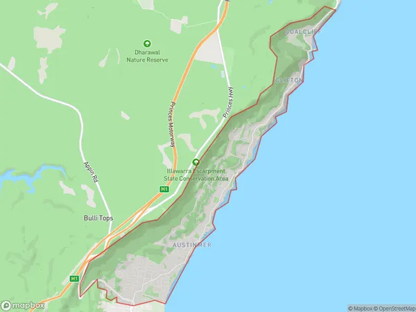
ColedaleColedale Suburb Area Map (Polygon)
Coledale Introduction
Coledale is a suburb of the Illawarra region in New South Wales, Australia. It is situated between the suburbs of Wollongong and Kiama. It is known for its scenic coastline, beautiful beaches, and lush forests. The population of Coledale is approximately 10,000 people.State Name
City or Big Region
District or Regional Area
Suburb Name
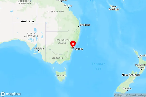
Coledale Region Map
Country
Main Region in AU
R2Coordinates
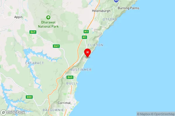
-34.283333,150.95 (latitude/longitude)Coledale Area Map (Street)
Longitude
150.9299Latitude
-34.300293Coledale Elevation
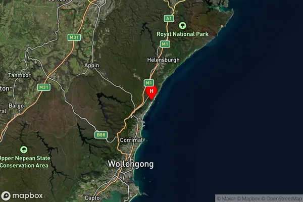
about 140.82 meters height above sea level (Altitude)Coledale Suburb Map (Satellite)
Distances
The distance from Coledale, Illawarra, NSW to AU Greater Capital CitiesSA1 Code 2011
10704114811SA1 Code 2016
10704114811SA2 Code
107041148SA3 Code
10704SA4 Code
107RA 2011
1RA 2016
1MMM 2015
1MMM 2019
1Charge Zone
N1LGA Region
WollongongLGA Code
18450Electorate
Cunningham