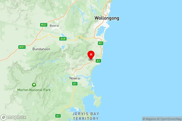
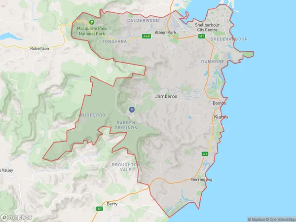
Kiama Shellharbour Suburbs & Region, Kiama Shellharbour Map & Postcodes
Kiama Shellharbour Suburbs & Region, Kiama Shellharbour Map & Postcodes in Kiama Shellharbour, Illawarra, NSW, AU
Kiama Shellharbour Region
Region Name
Kiama Shellharbour (NSW, AU)Kiama Shellharbour Area
390.8 square kilometers (390.8 ㎢)Postal Codes
from 2528 to 2530, and 2534 (In total, there are 4 postcodes in Kiama Shellharbour.)Kiama Shellharbour Introduction
Kiama Shellharbour is a suburb of the Illawarra region in New South Wales, Australia. It is situated in the Kiama Municipal Council area and is known for its beautiful beaches, scenic coastline, and vibrant community. The suburb has a population of around 10,000 people and is located about 90 kilometers south of Sydney. Kiama is a popular destination for tourists and locals alike, with many attractions including the Kiama Blowhole, Kiama Lighthouse, and the Kiama Surf Beach. The area is also home to a number of parks and reserves, including the Kiama Reserve and the Bombo Reserve.Australia State
City or Big Region
District or Regional Area
Kiama Shellharbour Region Map

Kiama Shellharbour Postcodes / Zip Codes
Kiama Shellharbour Suburbs
Horsley Kembla Grange
Shellharbour Flinders
Shellharbour Oak Flats
Kiama Shellharbour full address
Kiama Shellharbour, Illawarra, New South Wales, NSW, Australia, SaCode: 10703Country
Kiama Shellharbour, Illawarra, New South Wales, NSW, Australia, SaCode: 10703
Kiama Shellharbour Suburbs & Region, Kiama Shellharbour Map & Postcodes has 6 areas or regions above, and there are 37 Kiama Shellharbour suburbs below. The sa3code for the Kiama Shellharbour region is 10703. Its latitude and longitude coordinates are -34.7419,150.75.
Kiama Shellharbour Suburbs & Localities
1. Barrack Heights
2. Barrack Point
3. Mount Warrigal
4. Oak Flats
5. Shellharbour
6. Avondale
7. Cleveland
9. Rose Valley
10. Werri Beach
11. Willow Vale
12. Warilla
13. Windang
14. Blackbutt
15. Flinders
16. Shellharbour City Centre
17. Dombarton
18. Toolijooa
19. Balarang
20. Shellharbour Square
21. Dapto
22. Haywards Bay
23. Huntley
24. Wongawilli
25. Lake Illawarra
26. Dunmore
27. Oak Flats Dc
28. Shell Cove
29. Brownsville
30. Horsley
31. Kanahooka
32. Koonawarra
33. Marshall Mount
34. Yallah
35. Broughton Village
36. Foxground
37. Gerringong
