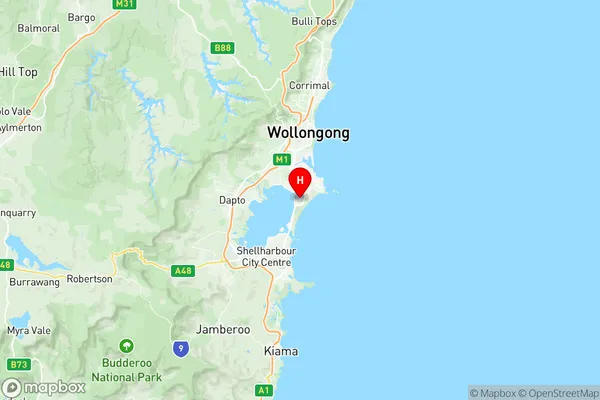
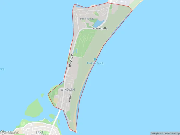
Windang Primbee Suburbs & Region, Windang Primbee Map & Postcodes
Windang Primbee Suburbs & Region, Windang Primbee Map & Postcodes in Windang Primbee, Kiama Shellharbour, Illawarra, NSW, AU
Windang Primbee Region
Region Name
Windang Primbee (NSW, AU)Windang Primbee Area
5.59 square kilometers (5.59 ㎢)Windang Primbee Introduction
Windang Primbee is a small rural town located in the Illawarra region of New South Wales, Australia. It is situated in the Shoalhaven Shire and is about 22 kilometers south of Nowra. The town is named after the Windang River, which flows through it. Windang Primbee has a population of around 2,000 people and is known for its beautiful natural surroundings, including the Windang State Forest and the Windang Beach. The town has a primary school, a post office, a general store, and a community hall. The area is popular with tourists and outdoor enthusiasts, who enjoy activities such as hiking, fishing, and swimming in the nearby rivers and beaches.Australia State
City or Big Region
Greater Capital City
Rest of NSW (1RNSW)District or Regional Area
Suburb Name
Windang Primbee Region Map

Windang Primbee Suburbs
Windang Primbee full address
Windang Primbee, Kiama Shellharbour, Illawarra, New South Wales, NSW, Australia, SaCode: 107011547Country
Windang Primbee, Kiama Shellharbour, Illawarra, New South Wales, NSW, Australia, SaCode: 107011547
Windang Primbee Suburbs & Region, Windang Primbee Map & Postcodes has 0 areas or regions above, and there are 0 Windang Primbee suburbs below. The sa2code for the Windang Primbee region is 107011547. Its latitude and longitude coordinates are -34.5008,150.882. Windang Primbee area belongs to Australia's greater capital city Rest of NSW.
