Shellharbour Square Area, Shellharbour Square Postcode(2529) & Map in Shellharbour Square, Illawarra, NSW
Shellharbour Square Area, Shellharbour Square Postcode(2529) & Map in Shellharbour Square, Illawarra, NSW, AU, Postcode: 2529
Shellharbour Square, Shellharbour - Oak Flats, Kiama - Shellharbour, Illawarra, New South Wales, Australia, 2529
Shellharbour Square Postcode
Area Name
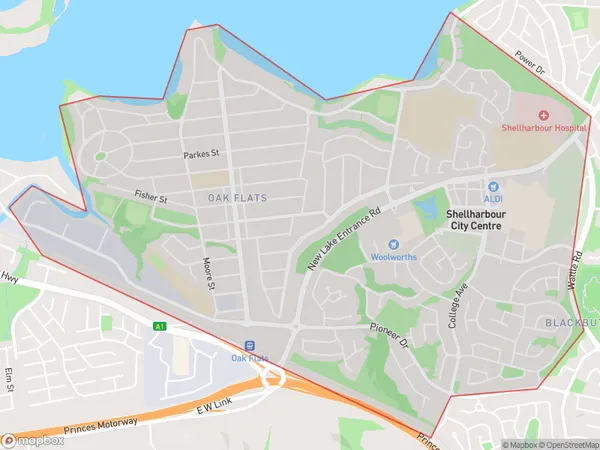
Shellharbour SquareShellharbour Square Suburb Area Map (Polygon)

Shellharbour Square Introduction
Shellharbour Square is a shopping center located in the heart of Shellharbour, New South Wales, Australia. It is home to a variety of stores, including major retailers such as Coles, Woolworths, and Kmart, as well as a number of specialty shops and cafes. The center also features a cinema complex and a variety of public facilities, such as a library and a community center.State Name
City or Big Region
District or Regional Area
Suburb Name
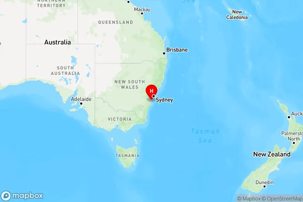
Shellharbour Square Region Map

Country
Main Region in AU
R2Coordinates
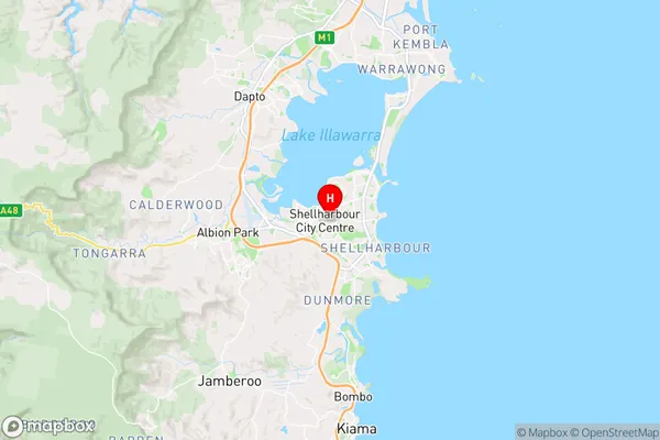
-34.5644,150.839 (latitude/longitude)Shellharbour Square Area Map (Street)

Longitude
150.84584Latitude
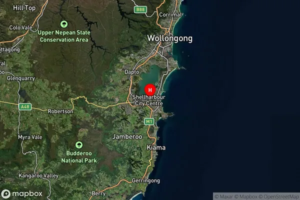
-34.592433Shellharbour Square Suburb Map (Satellite)

Distances
The distance from Shellharbour Square, Illawarra, NSW to AU Greater Capital CitiesSA1 Code 2011
10703114203SA1 Code 2016
10703114203SA2 Code
107031142SA3 Code
10703SA4 Code
107RA 2011
1RA 2016
1MMM 2015
1MMM 2019
1Charge Zone
N1LGA Region
ShellharbourLGA Code
16900Electorate
Whitlam