Cleveland Area, Cleveland Postcode(2530) & Map in Cleveland, Illawarra, NSW
Cleveland Area, Cleveland Postcode(2530) & Map in Cleveland, Illawarra, NSW, AU, Postcode: 2530
Cleveland, Dapto - Avondale, Dapto - Port Kembla, Illawarra, New South Wales, Australia, 2530
Cleveland Postcode
Area Name
ClevelandCleveland Suburb Area Map (Polygon)

Cleveland Introduction
Cleveland is a suburb of Wollongong, New South Wales, Australia, located 80 kilometers south of Sydney. It is known for its beaches, including the popular Surf Beach and the smaller North Beach. Cleveland is also home to the Wollongong Botanic Garden and the Illawarra Performing Arts Centre.State Name
City or Big Region
District or Regional Area
Suburb Name
Cleveland Region Map

Country
Main Region in AU
R2Coordinates
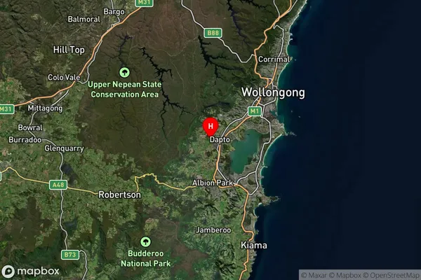
-34.5017365,150.7708274 (latitude/longitude)Cleveland Area Map (Street)

Longitude
150.7714948Latitude
-34.50180824Cleveland Elevation
about 42.08 meters height above sea level (Altitude)Cleveland Suburb Map (Satellite)
Distances
The distance from Cleveland, Illawarra, NSW to AU Greater Capital CitiesSA1 Code 2011
10701113113SA1 Code 2016
10701113113SA2 Code
107011131SA3 Code
10701SA4 Code
107RA 2011
2RA 2016
2MMM 2015
2MMM 2019
2Charge Zone
N1LGA Region
ShellharbourLGA Code
16900Electorate
Whitlam