Farringdon Area, Farringdon Postcode(2622) & Map in Farringdon, Capital Region, NSW
Farringdon Area, Farringdon Postcode(2622) & Map in Farringdon, Capital Region, NSW, AU, Postcode: 2622
Farringdon, Braidwood, Queanbeyan, Capital Region, New South Wales, Australia, 2622
Farringdon Postcode
Area Name
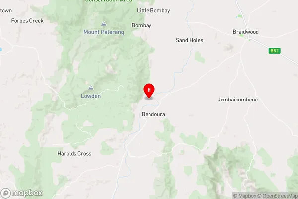
FarringdonFarringdon Suburb Area Map (Polygon)

Farringdon Introduction
Farringdon is a suburb of Sydney, in the state of New South Wales, Australia. It is located 4 kilometres west of the Sydney central business district and is part of the City of Sydney local government area. The suburb is known for its vibrant arts scene and has a number of popular cafes, restaurants, and bars. It is also home to the Farringdon Station, which is on the CityRail network.State Name
City or Big Region
District or Regional Area
Suburb Name
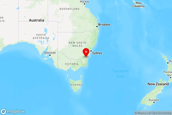
Farringdon Region Map
Country
Main Region in AU
R3Coordinates
-35.514938,149.6618545 (latitude/longitude)Farringdon Area Map (Street)
Longitude
149.752107Latitude
-35.628428Farringdon Elevation
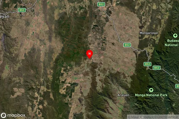
about 691.14 meters height above sea level (Altitude)Farringdon Suburb Map (Satellite)
Distances
The distance from Farringdon, Capital Region, NSW to AU Greater Capital CitiesSA1 Code 2011
10102100708SA1 Code 2016
10102100708SA2 Code
101021007SA3 Code
10102SA4 Code
101RA 2011
3RA 2016
3MMM 2015
5MMM 2019
5Charge Zone
N2LGA Region
Queanbeyan-Palerang RegionalLGA Code
16490Electorate
Hume