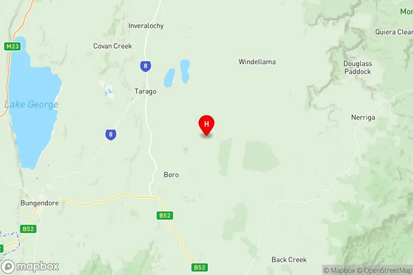
Braidwood Suburbs & Region, Braidwood Map & Postcodes
Braidwood Suburbs & Region, Braidwood Map & Postcodes in Braidwood, Shoalhaven, Southern Highlands and Shoalhaven, NSW, AU
Braidwood Region
Region Name
Braidwood (NSW, AU)Braidwood Area
3418 square kilometers (3,418 ㎢)Braidwood Introduction
Braidwood is a town in the Southern Highlands of New South Wales, Australia. It is located in the Wingecarribee Shire and is about 150 kilometers south-west of Sydney. The town is known for its beautiful forests, waterfalls, and historic buildings, including the Braidwood Hotel, which is one of the oldest hotels in Australia. The town also has a popular golf course and a variety of recreational facilities, including a swimming pool and tennis courts.Australia State
City or Big Region
Greater Capital City
Rest of NSW (1RNSW)District or Regional Area
Suburb Name
Braidwood Region Map

Braidwood Suburbs
Braidwood full address
Braidwood, Shoalhaven, Southern Highlands and Shoalhaven, New South Wales, NSW, Australia, SaCode: 101021007Country
Braidwood, Shoalhaven, Southern Highlands and Shoalhaven, New South Wales, NSW, Australia, SaCode: 101021007
Braidwood Suburbs & Region, Braidwood Map & Postcodes has 0 areas or regions above, and there are 0 Braidwood suburbs below. The sa2code for the Braidwood region is 101021007. Its latitude and longitude coordinates are -35.1479,149.772. Braidwood area belongs to Australia's greater capital city Rest of NSW.
