Larbert Area, Larbert Postcode(2622) & Map in Larbert, Capital Region, NSW
Larbert Area, Larbert Postcode(2622) & Map in Larbert, Capital Region, NSW, AU, Postcode: 2622
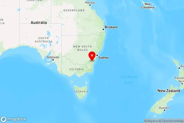
Larbert, Braidwood, Queanbeyan, Capital Region, New South Wales, Australia, 2622
Larbert Postcode
Area Name
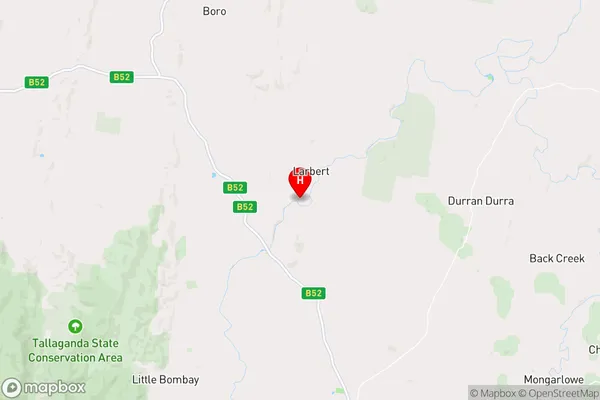
LarbertLarbert Suburb Area Map (Polygon)

Larbert Introduction
Larbert is a town in the Central West region of New South Wales, Australia. It is located in the Macquarie Valley and is part of the Dubbo Regional Council. The town is named after the Scottish settler John Larbert. It is a popular tourist destination due to its proximity to the Dubbo Regional Museum and the Dubbo Zoo.State Name
City or Big Region
District or Regional Area
Suburb Name
Larbert Region Map
Country
Main Region in AU
R3Coordinates
-35.3144823,149.7602664 (latitude/longitude)Larbert Area Map (Street)
Longitude
149.752107Latitude
-35.628428Larbert Elevation
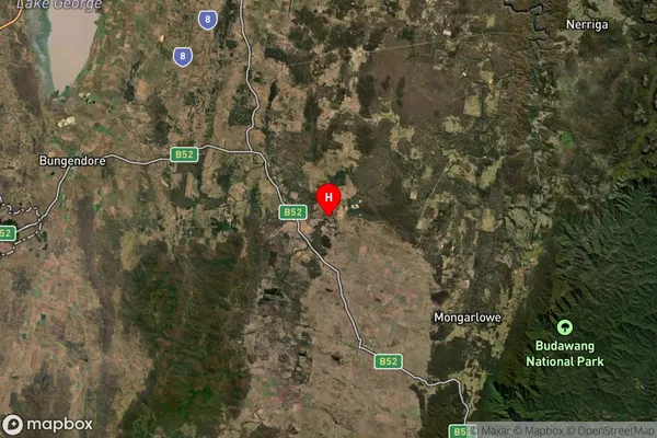
about 691.14 meters height above sea level (Altitude)Larbert Suburb Map (Satellite)
Distances
The distance from Larbert, Capital Region, NSW to AU Greater Capital CitiesSA1 Code 2011
10102100709SA1 Code 2016
10102100709SA2 Code
101021007SA3 Code
10102SA4 Code
101RA 2011
2RA 2016
2MMM 2015
5MMM 2019
5Charge Zone
N2LGA Region
Queanbeyan-Palerang RegionalLGA Code
16490Electorate
Hume