Oallen Area, Oallen Postcode(2622) & Map in Oallen, Capital Region, NSW
Oallen Area, Oallen Postcode(2622) & Map in Oallen, Capital Region, NSW, AU, Postcode: 2622
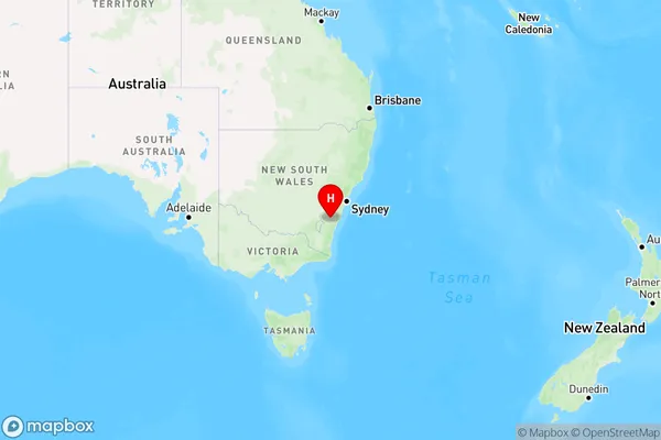
Oallen, Braidwood, Queanbeyan, Capital Region, New South Wales, Australia, 2622
Oallen Postcode
Area Name
OallenOallen Suburb Area Map (Polygon)

Oallen Introduction
Oallen is a small town in the Central West region of New South Wales, Australia. It is located in the Macquarie River valley and is surrounded by picturesque farmland. The town has a population of around 1,000 people and is known for its historic buildings and scenic surroundings. It is also home to a number of wineries and a golf course.State Name
City or Big Region
District or Regional Area
Suburb Name
Oallen Region Map
Country
Main Region in AU
R3Coordinates
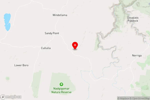
-35.1026944,149.9146958 (latitude/longitude)Oallen Area Map (Street)
Longitude
149.752107Latitude
-35.628428Oallen Elevation
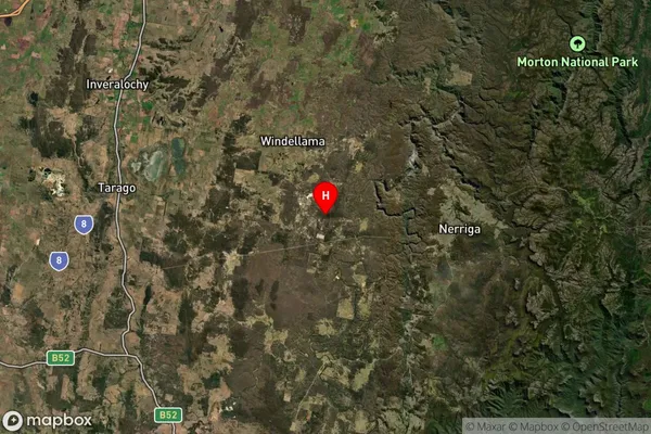
about 691.14 meters height above sea level (Altitude)Oallen Suburb Map (Satellite)
Distances
The distance from Oallen, Capital Region, NSW to AU Greater Capital CitiesSA1 Code 2011
10102100701SA1 Code 2016
10102100701SA2 Code
101021007SA3 Code
10102SA4 Code
101RA 2011
3RA 2016
2MMM 2015
5MMM 2019
5Charge Zone
N2LGA Region
Queanbeyan-Palerang RegionalLGA Code
16490Electorate
Hume