Mongarlowe Area, Mongarlowe Postcode(2622) & Map in Mongarlowe, Capital Region, NSW
Mongarlowe Area, Mongarlowe Postcode(2622) & Map in Mongarlowe, Capital Region, NSW, AU, Postcode: 2622
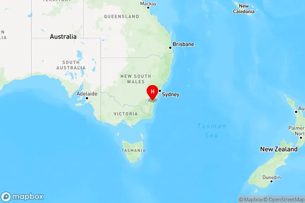
Mongarlowe, Braidwood, Queanbeyan, Capital Region, New South Wales, Australia, 2622
Mongarlowe Postcode
Area Name
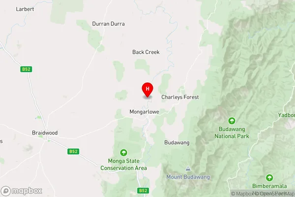
MongarloweMongarlowe Suburb Area Map (Polygon)

Mongarlowe Introduction
Mongarlowe is a rural locality in the City of Shoalhaven, New South Wales, Australia. It is located on the Princes Highway, about 35 km south of Nowra and 220 km south of Sydney. The post office opened as Mongarlowe on 1 October 1908 and was closed on 1 March 1974.State Name
City or Big Region
District or Regional Area
Suburb Name
Mongarlowe Region Map
Country
Main Region in AU
R3Coordinates
-35.4,149.939 (latitude/longitude)Mongarlowe Area Map (Street)
Longitude
149.752107Latitude
-35.628428Mongarlowe Elevation
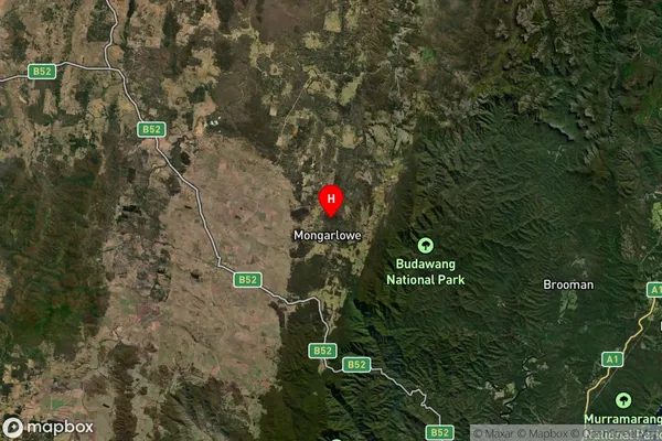
about 691.14 meters height above sea level (Altitude)Mongarlowe Suburb Map (Satellite)
Distances
The distance from Mongarlowe, Capital Region, NSW to AU Greater Capital CitiesSA1 Code 2011
10102100710SA1 Code 2016
10102100710SA2 Code
101021007SA3 Code
10102SA4 Code
101RA 2011
3RA 2016
3MMM 2015
5MMM 2019
5Charge Zone
N2LGA Region
Queanbeyan-Palerang RegionalLGA Code
16490Electorate
Hume