Croobyar Area, Croobyar Postcode(2539) & Map in Croobyar, Southern Highlands and Shoalhaven, NSW
Croobyar Area, Croobyar Postcode(2539) & Map in Croobyar, Southern Highlands and Shoalhaven, NSW, AU, Postcode: 2539
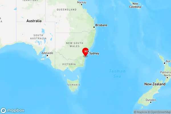
Croobyar, Ulladulla Region, Shoalhaven, Southern Highlands and Shoalhaven, New South Wales, Australia, 2539
Croobyar Postcode
Area Name
CroobyarCroobyar Suburb Area Map (Polygon)

Croobyar Introduction
Croobyar is a small town in the Southern Highlands of New South Wales, Australia. It is known for its scenic beauty, including the Croobyar State Conservation Area and the Croobyar River. The town is also home to a number of wineries and restaurants.State Name
City or Big Region
District or Regional Area
Suburb Name
Croobyar Region Map
Country
Main Region in AU
R3Coordinates
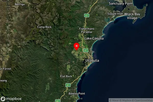
-35.3206722,150.3906538 (latitude/longitude)Croobyar Area Map (Street)

Longitude
150.3945638Latitude
-35.31915229Croobyar Elevation
about 76.84 meters height above sea level (Altitude)Croobyar Suburb Map (Satellite)
Distances
The distance from Croobyar, Southern Highlands and Shoalhaven, NSW to AU Greater Capital CitiesSA1 Code 2011
11401128309SA1 Code 2016
11401128309SA2 Code
114011283SA3 Code
11401SA4 Code
114RA 2011
2RA 2016
2MMM 2015
4MMM 2019
5Charge Zone
N2LGA Region
ShoalhavenLGA Code
16950Electorate
Gilmore