Touga Area, Touga Postcode(2622) & Map in Touga, Southern Highlands and Shoalhaven, NSW
Touga Area, Touga Postcode(2622) & Map in Touga, Southern Highlands and Shoalhaven, NSW, AU, Postcode: 2622
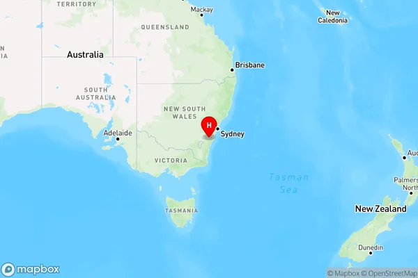
Touga, Ettrema - Sassafras - Budawang, Shoalhaven, Southern Highlands and Shoalhaven, New South Wales, Australia, 2622
Touga Postcode
Area Name
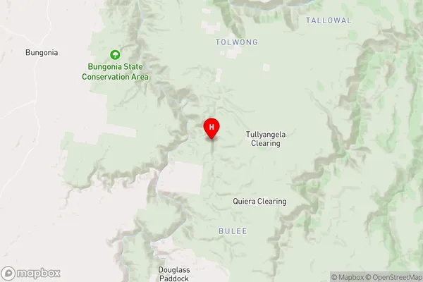
TougaTouga Suburb Area Map (Polygon)

Touga Introduction
Touga, Southern Highlands and Shoalhaven, NSW, AU, is a region in New South Wales, Australia, known for its natural beauty, including the Southern Highlands, Shoalhaven River, and the coastal towns of Ulladulla and Nowra. It is a popular destination for tourists, with attractions such as wineries, beaches, and hiking trails.State Name
City or Big Region
District or Regional Area
Suburb Name
Touga Region Map
Country
Main Region in AU
R3Coordinates
-34.9272037,150.110089 (latitude/longitude)Touga Area Map (Street)
Longitude
150.1100916Latitude
-34.92721168Touga Elevation
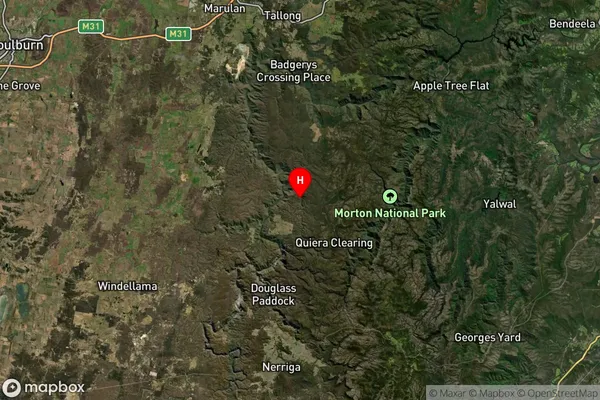
about 691.14 meters height above sea level (Altitude)Touga Suburb Map (Satellite)
Distances
The distance from Touga, Southern Highlands and Shoalhaven, NSW to AU Greater Capital CitiesSA1 Code 2011
11401127501SA1 Code 2016
11401127501SA2 Code
114011275SA3 Code
11401SA4 Code
114RA 2011
2RA 2016
2MMM 2015
5MMM 2019
5Charge Zone
N2LGA Region
Goulburn MulwareeLGA Code
13310Electorate
Hume