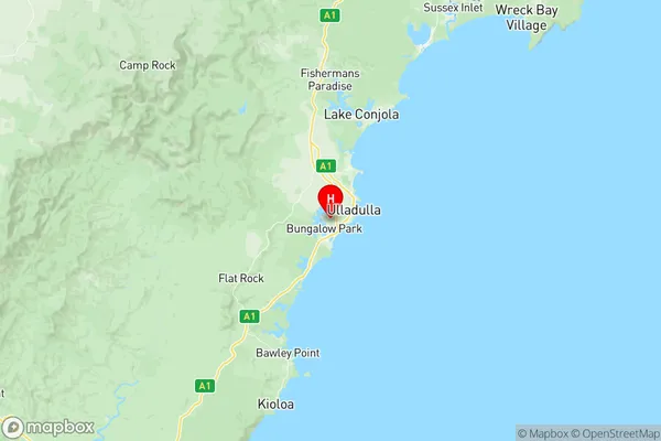
Ulladulla Suburbs & Region, Ulladulla Map & Postcodes
Ulladulla Suburbs & Region, Ulladulla Map & Postcodes in Ulladulla, Shoalhaven, Southern Highlands and Shoalhaven, NSW, AU
Ulladulla Region
Region Name
Ulladulla (NSW, AU)Ulladulla Area
46.78 square kilometers (46.78 ㎢)Postal Codes
2538, and 2539 (In total, there are 2 postcodes in Ulladulla.)Ulladulla Introduction
Ulladulla is a town on the South Coast of New South Wales, Australia. It is located in the Shoalhaven region and is known for its beautiful beaches, stunning natural scenery, and vibrant cultural community. The town has a population of around 20,000 people and is a popular tourist destination, particularly during the summer months. Ulladulla offers a range of activities and attractions, including surfing, fishing, hiking, and kayaking. It is also home to a number of festivals and events, such as the Ulladulla Jazz Festival and the Ulladulla Food and Wine Festival. The town is surrounded by picturesque national parks and is only a short drive from the city of Sydney.Australia State
City or Big Region
Greater Capital City
Rest of NSW (1RNSW)District or Regional Area
Suburb Name
Ulladulla Region Map

Ulladulla Postcodes / Zip Codes
Ulladulla Suburbs
Ulladulla full address
Ulladulla, Shoalhaven, Southern Highlands and Shoalhaven, New South Wales, NSW, Australia, SaCode: 114011282Country
Ulladulla, Shoalhaven, Southern Highlands and Shoalhaven, New South Wales, NSW, Australia, SaCode: 114011282
Ulladulla Suburbs & Region, Ulladulla Map & Postcodes has 0 areas or regions above, and there are 8 Ulladulla suburbs below. The sa2code for the Ulladulla region is 114011282. Its latitude and longitude coordinates are -35.373,150.446. Ulladulla area belongs to Australia's greater capital city Rest of NSW.
Ulladulla Suburbs & Localities
1. Milton
2. Burrill Lake
3. Dolphin Point
4. Kings Point
5. Mollymook
6. Mollymook Beach
7. Narrawallee
8. Ulladulla
