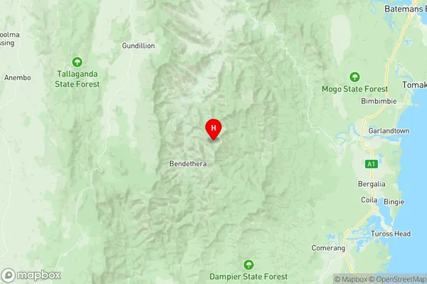
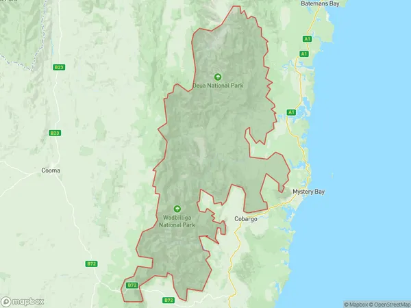
Deua Wadbilliga Suburbs & Region, Deua Wadbilliga Map & Postcodes
Deua Wadbilliga Suburbs & Region, Deua Wadbilliga Map & Postcodes in Deua Wadbilliga, Shoalhaven, Southern Highlands and Shoalhaven, NSW, AU
Deua Wadbilliga Region
Region Name
Deua Wadbilliga (NSW, AU)Deua Wadbilliga Area
2782 square kilometers (2,782 ㎢)Deua Wadbilliga Introduction
Deua Wadbilliga National Park is a national park in the Southern Highlands and Shoalhaven districts of New South Wales, Australia. It is located 225 kilometers south of Sydney and 35 kilometers northwest of Nowra. The park was established in 1994 and is named after the Deua River, which flows through it. The park is home to a variety of plant and animal species, including the endangered grey kangaroo and the southern brown bandicoot. The park is also home to a number of walking tracks, including the 42-kilometer Deua Walk, which takes visitors through the heart of the park. The park is a popular destination for bushwalkers, campers, and nature lovers.Australia State
City or Big Region
Greater Capital City
Rest of NSW (1RNSW)District or Regional Area
Suburb Name
Deua Wadbilliga Region Map

Deua Wadbilliga Suburbs
Deua Wadbilliga full address
Deua Wadbilliga, Shoalhaven, Southern Highlands and Shoalhaven, New South Wales, NSW, Australia, SaCode: 101041022Country
Deua Wadbilliga, Shoalhaven, Southern Highlands and Shoalhaven, New South Wales, NSW, Australia, SaCode: 101041022
Deua Wadbilliga Suburbs & Region, Deua Wadbilliga Map & Postcodes has 0 areas or regions above, and there are 0 Deua Wadbilliga suburbs below. The sa2code for the Deua Wadbilliga region is 101041022. Its latitude and longitude coordinates are -35.916,149.796. Deua Wadbilliga area belongs to Australia's greater capital city Rest of NSW.
