Armidale Suburbs & Region, Armidale Map & Postcodes
Armidale Suburbs & Region, Armidale Map & Postcodes in Armidale, New England and North West, NSW, AU
Armidale Region
Region Name
Armidale (NSW, AU)Armidale Area
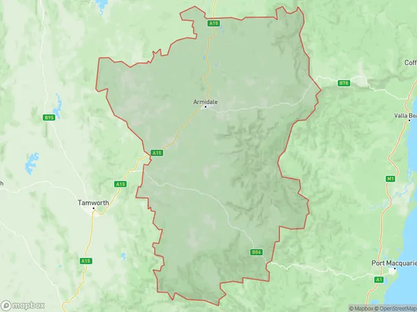
16396 square kilometers (16,396 ㎢)Armidale Suburb Area Map (Polygon)
Armidale Introduction
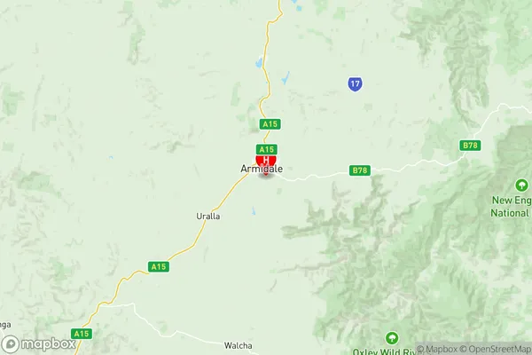
Armidale is a city in the New England region of New South Wales, Australia. It is located on the banks of the Murrumbidgee River, approximately 350 kilometers west of Sydney. The city has a population of around 20,000 people and is known for its historic architecture, vibrant arts scene, and agricultural industry. The region is famous for its wool production and is home to several sheep stations and wineries. Armidale is also home to the University of New England, which has a campus located in the city center. The university is known for its agricultural and environmental studies programs and has a strong reputation for research and innovation.Australia State
City or Big Region
District or Regional Area
Armidale Region Map
Armidale Suburbs
Armidale full address
Armidale, New England and North West, New South Wales, NSW, Australia, SaCode: 11001Country
Armidale, New England and North West, New South Wales, NSW, Australia, SaCode: 11001
Armidale Suburbs & Region, Armidale Map & Postcodes has 3 areas or regions above, and there are 0 Armidale suburbs below. The sa3code for the Armidale region is 11001. Its latitude and longitude coordinates are -30.538,151.679.