Fernbrook Area, Fernbrook Postcode(2453) & Map in Fernbrook, Coffs Harbour - Grafton, NSW
Fernbrook Area, Fernbrook Postcode(2453) & Map in Fernbrook, Coffs Harbour - Grafton, NSW, AU, Postcode: 2453
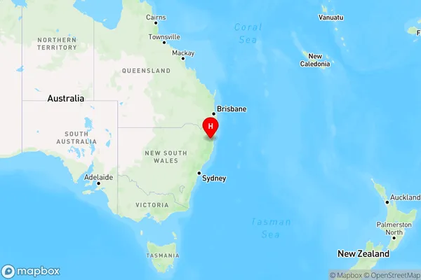
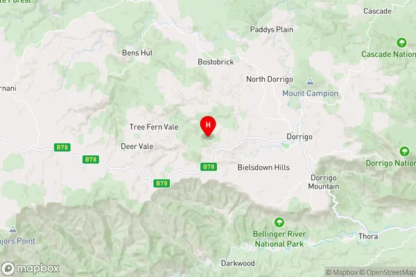
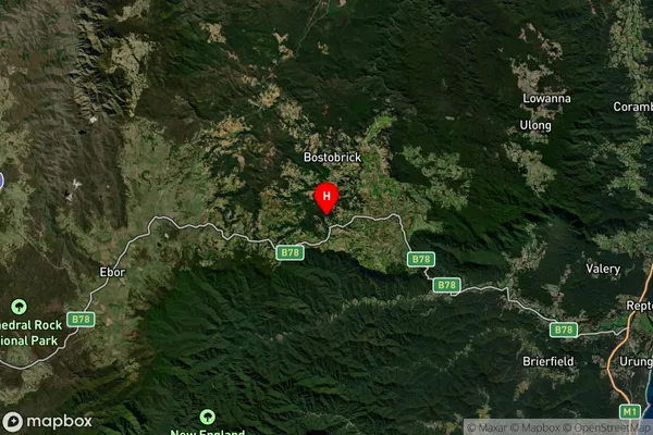
Fernbrook, Dorrigo, Coffs Harbour, Coffs Harbour - Grafton, New South Wales, Australia, 2453
Fernbrook Postcode
Area Name
FernbrookFernbrook Suburb Area Map (Polygon)

Fernbrook Introduction
Fernbrook is a suburb in the City of Coffs Harbour, New South Wales, Australia. It is located about 50 kilometers north of the city center and is part of the Mid North Coast region. Fernbrook is known for its beautiful natural surroundings, including the Fernbrook Creek and the Fernbrook Forest Reserve. The suburb has a population of around 10,000 people and is home to a variety of residential properties, including single-family homes, apartments, and townhouses.State Name
City or Big Region
District or Regional Area
Suburb Name
Fernbrook Region Map
Country
Main Region in AU
R3Coordinates
-30.3416585,152.6214601 (latitude/longitude)Fernbrook Area Map (Street)
Longitude
152.621062Latitude
-30.329085Fernbrook Elevation
about 729.32 meters height above sea level (Altitude)Fernbrook Suburb Map (Satellite)
Distances
The distance from Fernbrook, Coffs Harbour - Grafton, NSW to AU Greater Capital CitiesSA1 Code 2011
10402108710SA1 Code 2016
10402108710SA2 Code
104021087SA3 Code
10402SA4 Code
104RA 2011
3RA 2016
3MMM 2015
5MMM 2019
5Charge Zone
N2LGA Region
BellingenLGA Code
10600Electorate
Page