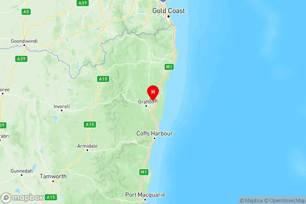
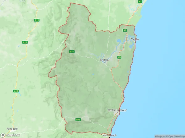
Coffs Harbour Grafton Suburbs & Region, Coffs Harbour Grafton Map & Postcodes
Coffs Harbour Grafton Suburbs & Region, Coffs Harbour Grafton Map & Postcodes in Coffs Harbour Grafton, NSW, AU
Coffs Harbour Grafton Region
Region Name
Coffs Harbour Grafton (NSW, AU)Coffs Harbour Grafton Area
13230 square kilometers (13,230 ㎢)Postal Codes
2450, 2452, from 2454 to 2456, and from 2462 to 2466 (In total, there are 10 postcodes in Coffs Harbour Grafton.)Coffs Harbour Grafton Introduction
Coffs Harbour Grafton is a locality in the City of Coffs Harbour, New South Wales, Australia. It is located on the Clarence River and is part of the Mid North Coast region. The population of Coffs Harbour Grafton at the 2016 Census was 10,912. The area has a rich history, with evidence of early European settlement dating back to the 18th century. The town is known for its agricultural industry, particularly the production of bananas and sugarcane. It is also home to the Grafton Correctional Centre, a maximum security prison. The town has a number of parks and recreational facilities, including the Grafton Pool and the Grafton Regional Gallery. The nearby town of Yamba is also a popular tourist destination, known for its beautiful beaches and fishing opportunities.Australia State
City or Big Region
Coffs Harbour Grafton Region Map

Coffs Harbour Grafton Postcodes / Zip Codes
Coffs Harbour Grafton Suburbs
Clarence Valley
Coffs Harbour Grafton full address
Coffs Harbour Grafton, New South Wales, NSW, Australia, SaCode: 104Country
Coffs Harbour Grafton, New South Wales, NSW, Australia, SaCode: 104
Coffs Harbour Grafton Suburbs & Region, Coffs Harbour Grafton Map & Postcodes has 2 areas or regions above, and there are 101 Coffs Harbour Grafton suburbs below. The sa4code for the Coffs Harbour Grafton region is 104. Its latitude and longitude coordinates are -29.6173,153.08.
Coffs Harbour Grafton Suburbs & Localities
1. Glenreagh
2. Calliope
3. Ashby Heights
4. Wooloweyah
5. Woody Head
6. Harwood
7. Brierfield
8. Tarkeeth
9. Emerald Beach
10. Boambee East
