Emerald Beach Area, Emerald Beach Postcode(2456) & Map in Emerald Beach, Coffs Harbour - Grafton, NSW
Emerald Beach Area, Emerald Beach Postcode(2456) & Map in Emerald Beach, Coffs Harbour - Grafton, NSW, AU, Postcode: 2456
Emerald Beach, Korora - Emerald Beach, Coffs Harbour, Coffs Harbour - Grafton, New South Wales, Australia, 2456
Emerald Beach Postcode
Area Name
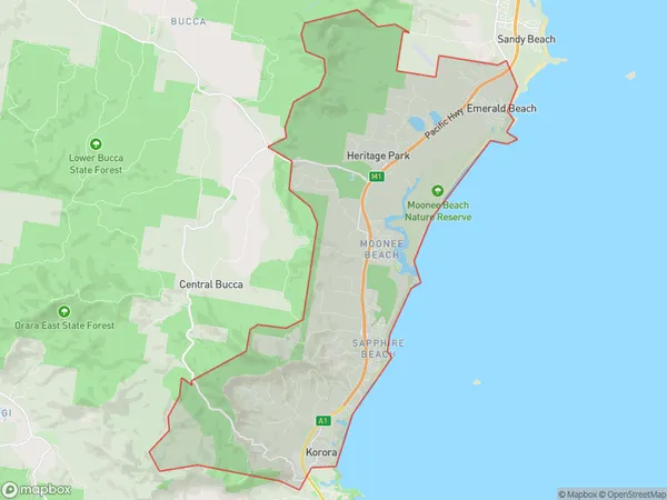
Emerald BeachEmerald Beach Suburb Area Map (Polygon)

Emerald Beach Introduction
Emerald Beach is a hidden gem in the Clarence Valley, known for its crystal-clear waters, pristine sand, and stunning coastal scenery. It's a popular spot for swimming, surfing, and fishing, and offers a peaceful escape from the hustle and bustle of city life. The beach is surrounded by lush green forests and picturesque headlands, and is a short drive from the town of Coffs Harbour.State Name
City or Big Region
District or Regional Area
Suburb Name
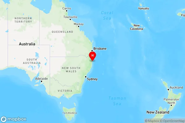
Emerald Beach Region Map

Country
Main Region in AU
R3Coordinates
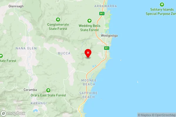
-30.1574794,153.1501948 (latitude/longitude)Emerald Beach Area Map (Street)

Longitude
153.143409Latitude
-30.073663Emerald Beach Elevation
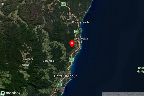
about 105.16 meters height above sea level (Altitude)Emerald Beach Suburb Map (Satellite)

Distances
The distance from Emerald Beach, Coffs Harbour - Grafton, NSW to AU Greater Capital CitiesSA1 Code 2011
10402108807SA1 Code 2016
10402108807SA2 Code
104021088SA3 Code
10402SA4 Code
104RA 2011
2RA 2016
2MMM 2015
3MMM 2019
3Charge Zone
N2LGA Region
Coffs HarbourLGA Code
11800Electorate
Page