Dorrigo Suburbs & Region, Dorrigo Map & Postcodes
Dorrigo Suburbs & Region, Dorrigo Map & Postcodes in Dorrigo, Armidale, New England and North West, NSW, AU
Dorrigo Region
Region Name
Dorrigo (NSW, AU)Dorrigo Area
1988 square kilometers (1,988 ㎢)Dorrigo Suburb Area Map (Polygon)

Dorrigo Introduction
Dorrigo is a town in the New England region of New South Wales, Australia. It is situated in the Dorrigo Shire local government area and is located about 265 km north-east of the state capital, Sydney. The town is surrounded by the Dorrigo National Park and is known for its beautiful waterfalls, rainforests, and mountain ranges. The town has a population of around 1,500 people and is a popular tourist destination. The town is also home to the Dorrigo Rainforest Centre, which is dedicated to the conservation and protection of the region's unique rainforest ecosystem.Australia State
City or Big Region
Greater Capital City
Rest of NSW (1RNSW)District or Regional Area
Suburb Name
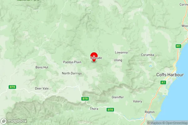
Dorrigo Region Map
Dorrigo Suburbs
Dorrigo full address
Dorrigo, Armidale, New England and North West, New South Wales, NSW, Australia, SaCode: 104021087Country
Dorrigo, Armidale, New England and North West, New South Wales, NSW, Australia, SaCode: 104021087
Dorrigo Suburbs & Region, Dorrigo Map & Postcodes has 0 areas or regions above, and there are 0 Dorrigo suburbs below. The sa2code for the Dorrigo region is 104021087. Its latitude and longitude coordinates are -30.25,152.78. Dorrigo area belongs to Australia's greater capital city Rest of NSW.