Dundurrabin Area, Dundurrabin Postcode(2453) & Map in Dundurrabin, Coffs Harbour - Grafton, NSW
Dundurrabin Area, Dundurrabin Postcode(2453) & Map in Dundurrabin, Coffs Harbour - Grafton, NSW, AU, Postcode: 2453
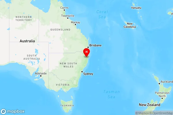
Dundurrabin, Dorrigo, Coffs Harbour, Coffs Harbour - Grafton, New South Wales, Australia, 2453
Dundurrabin Postcode
Area Name
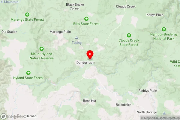
DundurrabinDundurrabin Suburb Area Map (Polygon)

Dundurrabin Introduction
Dundurrabin is a locality in the City of Coffs Harbour, New South Wales, Australia. It is located on the Clarence River and is part of the Coffs Harbour Region. Dundurrabin is known for its natural beauty, including forests, waterfalls, and a national park. It is also home to a number of popular tourist attractions, such as the Dundurrabin Wildlife Sanctuary and the Big Banana Fun Park.State Name
City or Big Region
District or Regional Area
Suburb Name
Dundurrabin Region Map
Country
Main Region in AU
R3Coordinates
-30.187673,152.5524368 (latitude/longitude)Dundurrabin Area Map (Street)
Longitude
152.621062Latitude
-30.329085Dundurrabin Elevation
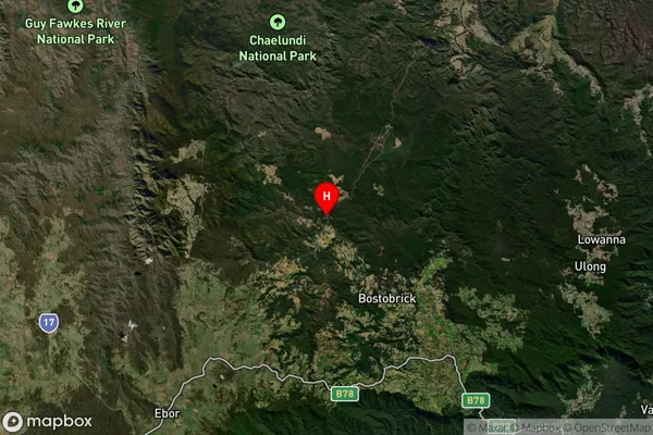
about 729.32 meters height above sea level (Altitude)Dundurrabin Suburb Map (Satellite)
Distances
The distance from Dundurrabin, Coffs Harbour - Grafton, NSW to AU Greater Capital CitiesSA1 Code 2011
10402108712SA1 Code 2016
10402108712SA2 Code
104021087SA3 Code
10402SA4 Code
104RA 2011
3RA 2016
3MMM 2015
5MMM 2019
5Charge Zone
N2LGA Region
BellingenLGA Code
10600Electorate
Page