Billys Creek Area, Billys Creek Postcode(2453) & Map in Billys Creek, Coffs Harbour - Grafton, NSW
Billys Creek Area, Billys Creek Postcode(2453) & Map in Billys Creek, Coffs Harbour - Grafton, NSW, AU, Postcode: 2453
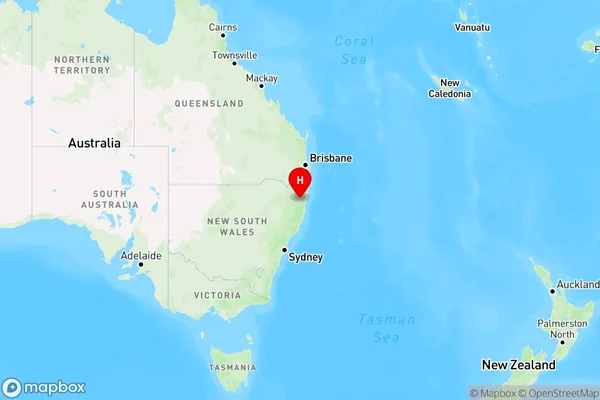
Billys Creek, Dorrigo, Coffs Harbour, Coffs Harbour - Grafton, New South Wales, Australia, 2453
Billys Creek Postcode
Area Name
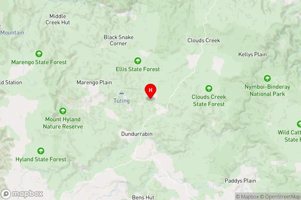
Billys CreekBillys Creek Suburb Area Map (Polygon)

Billys Creek Introduction
Billy's Creek is a small rural locality in the Coffs Harbour region of New South Wales, Australia. It is located in the Clarence Valley Council area and is situated between the towns of Grafton and Coffs Harbour. The area is known for its scenic countryside, with rolling hills and lush green forests. The creek itself flows through the locality and is a popular spot for fishing and swimming.State Name
City or Big Region
District or Regional Area
Suburb Name
Billys Creek Region Map
Country
Main Region in AU
R3Coordinates
-30.1525565,152.5615776 (latitude/longitude)Billys Creek Area Map (Street)
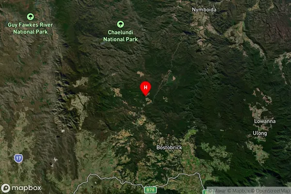
Longitude
152.621062Latitude
-30.329085Billys Creek Elevation
about 729.32 meters height above sea level (Altitude)Billys Creek Suburb Map (Satellite)
Distances
The distance from Billys Creek, Coffs Harbour - Grafton, NSW to AU Greater Capital CitiesSA1 Code 2011
10402108712SA1 Code 2016
10402108712SA2 Code
104021087SA3 Code
10402SA4 Code
104RA 2011
3RA 2016
3MMM 2015
5MMM 2019
5Charge Zone
N2LGA Region
BellingenLGA Code
10600Electorate
Page