Leigh Area, Leigh Postcode(2453) & Map in Leigh, Coffs Harbour - Grafton, NSW
Leigh Area, Leigh Postcode(2453) & Map in Leigh, Coffs Harbour - Grafton, NSW, AU, Postcode: 2453
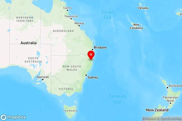
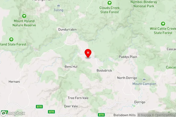
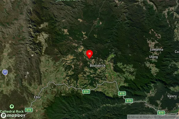
Leigh, Dorrigo, Coffs Harbour, Coffs Harbour - Grafton, New South Wales, Australia, 2453
Leigh Postcode
Area Name
LeighLeigh Suburb Area Map (Polygon)

Leigh Introduction
Leigh is a small town located in the Mid North Coast region of New South Wales, Australia. It is situated between the towns of Coffs Harbour and Grafton and is known for its beautiful beaches, lush forests, and tranquil waterways. The town has a population of around 1,500 people and is a popular destination for tourists and locals alike. Leigh has a variety of accommodation options, including hotels, resorts, and holiday apartments, and is surrounded by many natural attractions, including the Big Banana Fun Park, the Coffs Harbour Butterfly World, and the Dorrigo National Park.State Name
City or Big Region
District or Regional Area
Suburb Name
Leigh Region Map
Country
Main Region in AU
R3Coordinates
-30.2517,152.591 (latitude/longitude)Leigh Area Map (Street)
Longitude
152.621062Latitude
-30.329085Leigh Elevation
about 729.32 meters height above sea level (Altitude)Leigh Suburb Map (Satellite)
Distances
The distance from Leigh, Coffs Harbour - Grafton, NSW to AU Greater Capital CitiesSA1 Code 2011
10402108713SA1 Code 2016
10402108713SA2 Code
104021087SA3 Code
10402SA4 Code
104RA 2011
3RA 2016
3MMM 2015
5MMM 2019
5Charge Zone
N2LGA Region
BellingenLGA Code
10600Electorate
Page