Tyringham Area, Tyringham Postcode(2453) & Map in Tyringham, Coffs Harbour - Grafton, NSW
Tyringham Area, Tyringham Postcode(2453) & Map in Tyringham, Coffs Harbour - Grafton, NSW, AU, Postcode: 2453
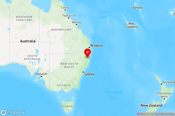
Tyringham, Dorrigo, Coffs Harbour, Coffs Harbour - Grafton, New South Wales, Australia, 2453
Tyringham Postcode
Area Name
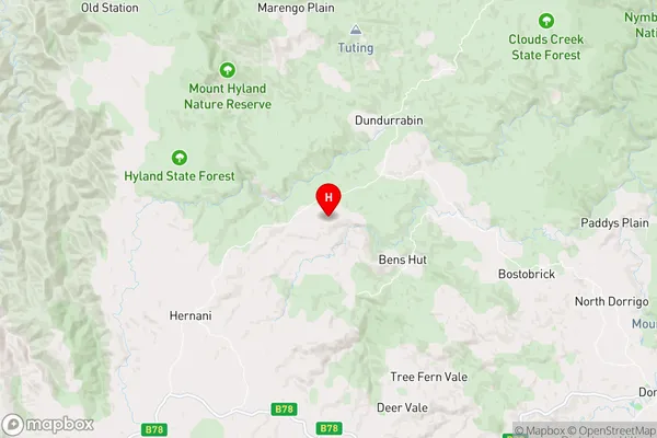
TyringhamTyringham Suburb Area Map (Polygon)

Tyringham Introduction
Tyringham is a rural locality in the Coffs Harbour region of New South Wales, Australia. It is located in the Clarence Valley Council area and is about 125 km north of the state capital, Sydney. The area is known for its scenic countryside, including forests, farms, and vineyards. The population of Tyringham is approximately 1,000 people.State Name
City or Big Region
District or Regional Area
Suburb Name
Tyringham Region Map
Country
Main Region in AU
R3Coordinates
-30.2462274,152.5049203 (latitude/longitude)Tyringham Area Map (Street)
Longitude
152.621062Latitude
-30.329085Tyringham Elevation
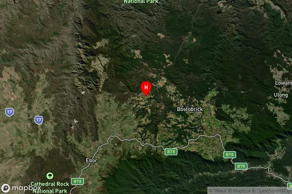
about 729.32 meters height above sea level (Altitude)Tyringham Suburb Map (Satellite)
Distances
The distance from Tyringham, Coffs Harbour - Grafton, NSW to AU Greater Capital CitiesSA1 Code 2011
10402108711SA1 Code 2016
10402108711SA2 Code
104021087SA3 Code
10402SA4 Code
104RA 2011
3RA 2016
3MMM 2015
5MMM 2019
5Charge Zone
N2LGA Region
BellingenLGA Code
10600Electorate
Page