Tallowwood Ridge Area, Tallowwood Ridge Postcode(2453) & Map in Tallowwood Ridge, Coffs Harbour - Grafton, NSW
Tallowwood Ridge Area, Tallowwood Ridge Postcode(2453) & Map in Tallowwood Ridge, Coffs Harbour - Grafton, NSW, AU, Postcode: 2453
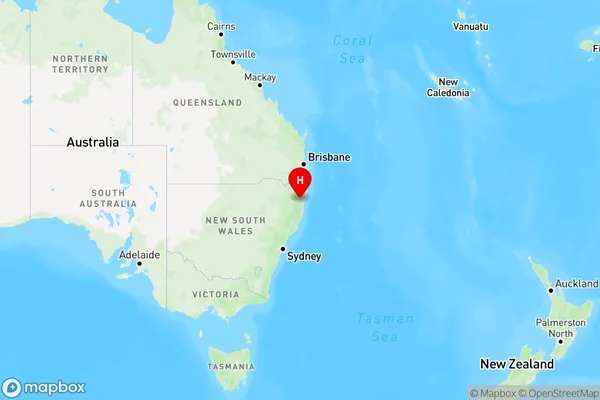
Tallowwood Ridge, Dorrigo, Coffs Harbour, Coffs Harbour - Grafton, New South Wales, Australia, 2453
Tallowwood Ridge Postcode
Area Name
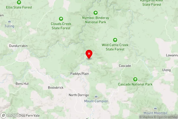
Tallowwood RidgeTallowwood Ridge Suburb Area Map (Polygon)

State Name
City or Big Region
District or Regional Area
Suburb Name
Tallowwood Ridge Region Map
Country
Main Region in AU
R3Coordinates
-30.2200839,152.7062309 (latitude/longitude)Tallowwood Ridge Area Map (Street)
Longitude
152.7239732Latitude
-30.261156Tallowwood Ridge Elevation
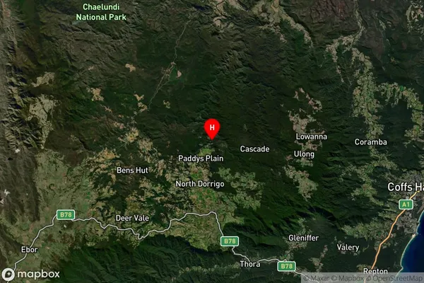
about 557.74 meters height above sea level (Altitude)Tallowwood Ridge Suburb Map (Satellite)
Distances
The distance from Tallowwood Ridge, Coffs Harbour - Grafton, NSW to AU Greater Capital CitiesSA1 Code 2011
10402108701SA1 Code 2016
10402108701SA2 Code
104021087SA3 Code
10402SA4 Code
104RA 2011
3RA 2016
3MMM 2015
5MMM 2019
5Charge Zone
N2LGA Region
BellingenLGA Code
10600Electorate
Page