Bostobrick Area, Bostobrick Postcode(2453) & Map in Bostobrick, Coffs Harbour - Grafton, NSW
Bostobrick Area, Bostobrick Postcode(2453) & Map in Bostobrick, Coffs Harbour - Grafton, NSW, AU, Postcode: 2453
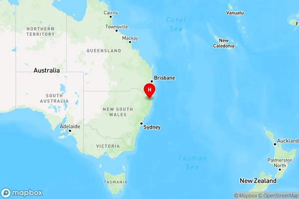
Bostobrick, Dorrigo, Coffs Harbour, Coffs Harbour - Grafton, New South Wales, Australia, 2453
Bostobrick Postcode
Area Name
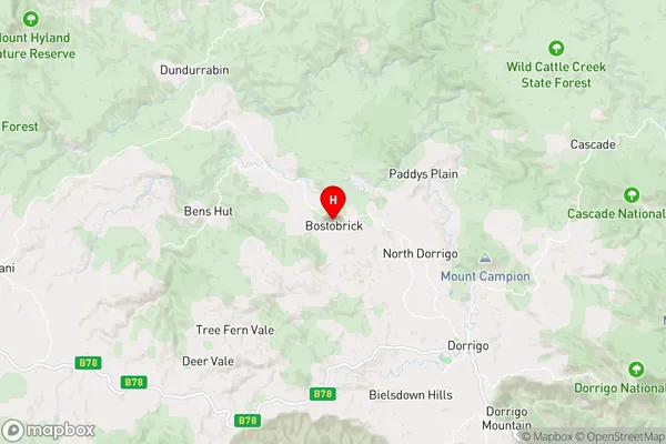
BostobrickBostobrick Suburb Area Map (Polygon)

Bostobrick Introduction
Bostobrick is a heritage-listed former brickworks located in the city of Coffs Harbour, New South Wales, Australia. It was established in the late 19th century and was a significant producer of bricks and tiles for the region. The brickworks closed in the 1970s and the site has since been redeveloped for residential and commercial purposes.State Name
City or Big Region
District or Regional Area
Suburb Name
Bostobrick Region Map
Country
Main Region in AU
R3Coordinates
-30.274,152.6285 (latitude/longitude)Bostobrick Area Map (Street)
Longitude
152.621062Latitude
-30.329085Bostobrick Elevation
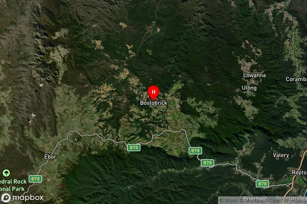
about 729.32 meters height above sea level (Altitude)Bostobrick Suburb Map (Satellite)
Distances
The distance from Bostobrick, Coffs Harbour - Grafton, NSW to AU Greater Capital CitiesSA1 Code 2011
10402108713SA1 Code 2016
10402108713SA2 Code
104021087SA3 Code
10402SA4 Code
104RA 2011
3RA 2016
3MMM 2015
5MMM 2019
5Charge Zone
N2LGA Region
BellingenLGA Code
10600Electorate
Page