South Hill Area, South Hill Postcode(2350) & Map in South Hill, New England and North West, NSW
South Hill Area, South Hill Postcode(2350) & Map in South Hill, New England and North West, NSW, AU, Postcode: 2350
South Hill, Armidale, Armidale, New England and North West, New South Wales, Australia, 2350
South Hill Postcode
Area Name
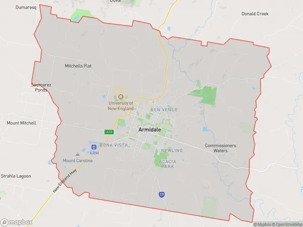
South HillSouth Hill Suburb Area Map (Polygon)

South Hill Introduction
South Hill is a suburb of the City of Blacktown in New South Wales, Australia. It is located 31 kilometres west of Sydney's central business district and is part of the Western Sydney region. The suburb is named after a hill that overlooks the surrounding area and is believed to have been named by the first European settlers who arrived in the area. South Hill has a diverse population and is home to a number of cultural and religious institutions. The suburb is also known for its many parks and recreational facilities, including the South Hill Parklands and the South Hill Sports Complex.State Name
City or Big Region
District or Regional Area
Suburb Name
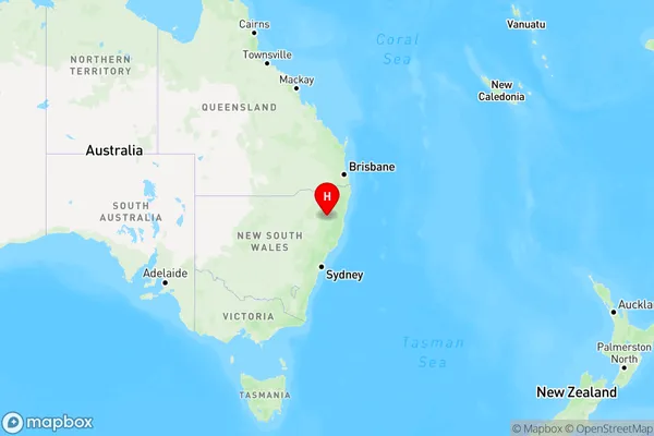
South Hill Region Map

Country
Main Region in AU
R3Coordinates
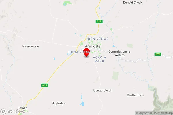
-30.5376,151.651 (latitude/longitude)South Hill Area Map (Street)

Longitude
151.906153Latitude
-30.493397South Hill Elevation
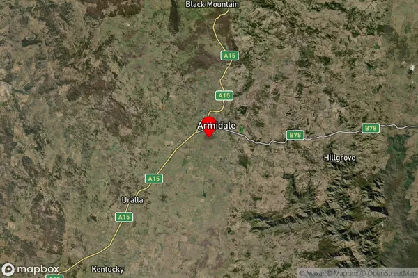
about -3492.00 meters height above sea level (Altitude)South Hill Suburb Map (Satellite)

Distances
The distance from South Hill, New England and North West, NSW to AU Greater Capital CitiesSA1 Code 2011
11001118615SA1 Code 2016
11001118615SA2 Code
110011186SA3 Code
11001SA4 Code
110RA 2011
2RA 2016
2MMM 2015
3MMM 2019
3Charge Zone
N2LGA Region
Armidale RegionalLGA Code
10180Electorate
Lyne