Kempsey Suburbs & Region, Kempsey Map & Postcodes
Kempsey Suburbs & Region, Kempsey Map & Postcodes in Kempsey, Armidale, New England and North West, NSW, AU
Kempsey Region
Region Name
Kempsey (NSW, AU)Kempsey Area
195.16 square kilometers (195.16 ㎢)Postal Codes
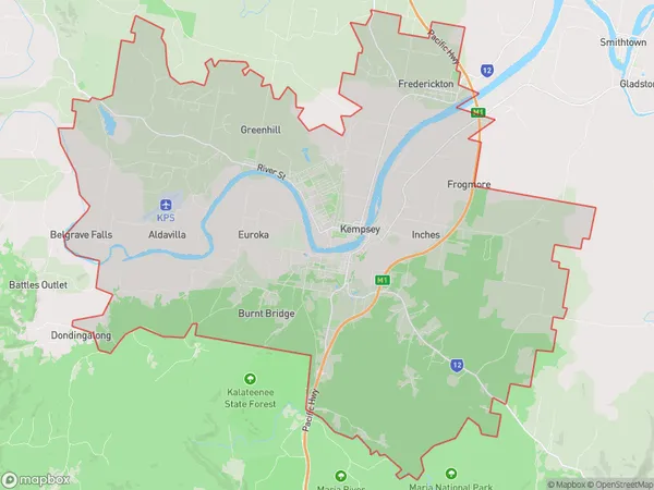
2440, and 2442 (In total, there are 2 postcodes in Kempsey.)Kempsey Suburb Area Map (Polygon)
Kempsey Introduction
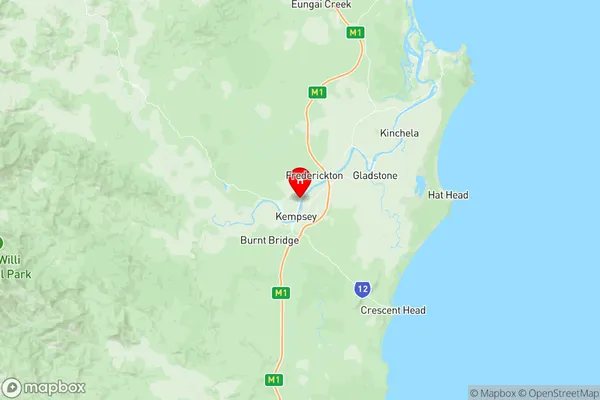
Kempsey is a city in the Mid North Coast region of New South Wales, Australia. It is located in the Macleay Valley and is about 350 kilometers north of Sydney. The city has a population of around 10,000 people and is known for its agricultural industry, including cotton farming and forestry. Kempsey is also home to a number of tourist attractions, including the Kempsey Shire Museum, the Big Banana Fun Park, and the Kempsey Golf Club. The city is surrounded by beautiful natural scenery, including the Macleay River and the Nambucca Heads National Park.Australia State
City or Big Region
Greater Capital City
Rest of NSW (1RNSW)District or Regional Area
Suburb Name
Kempsey Region Map
Kempsey Postcodes / Zip Codes
Kempsey Suburbs
Kempsey full address
Kempsey, Armidale, New England and North West, New South Wales, NSW, Australia, SaCode: 108021155Country
Kempsey, Armidale, New England and North West, New South Wales, NSW, Australia, SaCode: 108021155
Kempsey Suburbs & Region, Kempsey Map & Postcodes has 0 areas or regions above, and there are 16 Kempsey suburbs below. The sa2code for the Kempsey region is 108021155. Its latitude and longitude coordinates are -31.0605,152.848. Kempsey area belongs to Australia's greater capital city Rest of NSW.
Kempsey Suburbs & Localities
1. Greenhills
2. Hampden Hall
3. Kempsey
4. Kempsey Msc
5. Euroka
6. Verges Creek
7. Aldavilla
8. Burnt Bridge
9. Greenhill
10. Pola Creek
11. West Kempsey
12. East Kempsey
13. Frederickton
14. South Kempsey
15. Yarravel
16. Mid North Coast Mc