Saumarez Ponds Area, Saumarez Ponds Postcode(2350) & Map in Saumarez Ponds, New England and North West, NSW
Saumarez Ponds Area, Saumarez Ponds Postcode(2350) & Map in Saumarez Ponds, New England and North West, NSW, AU, Postcode: 2350
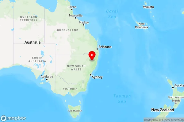
Saumarez Ponds, Armidale Region - South, Armidale, New England and North West, New South Wales, Australia, 2350
Saumarez Ponds Postcode
Area Name
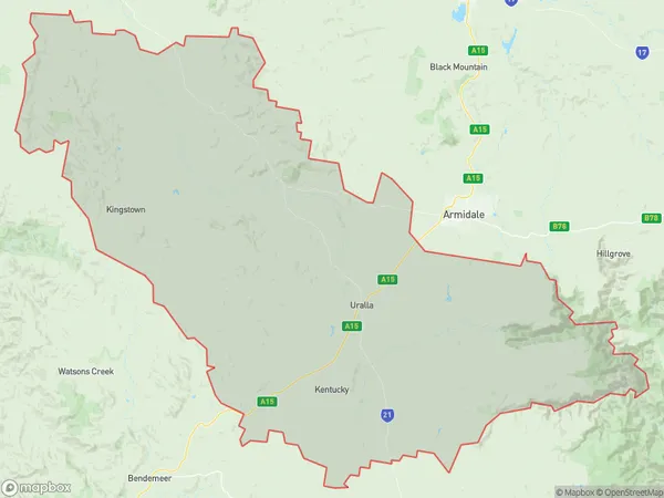
Saumarez PondsSaumarez Ponds Suburb Area Map (Polygon)

Saumarez Ponds Introduction
Saumarez Ponds is a wetland area located in the Port Macquarie-Hastings region of New South Wales, Australia. It is a popular spot for birdwatching, with over 200 species of birds recorded in the area. The ponds are also home to a variety of waterfowl, including ducks, geese, and swans. The area is surrounded by eucalyptus forests and grasslands and is a important ecological site.State Name
City or Big Region
District or Regional Area
Suburb Name
Saumarez Ponds Region Map

Country
Main Region in AU
R3Coordinates
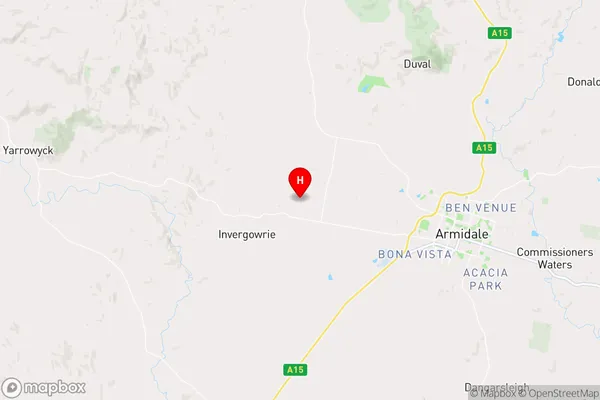
-30.4944256,151.5544836 (latitude/longitude)Saumarez Ponds Area Map (Street)

Longitude
151.906153Latitude
-30.493397Saumarez Ponds Elevation
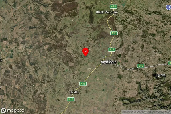
about -3492.00 meters height above sea level (Altitude)Saumarez Ponds Suburb Map (Satellite)

Distances
The distance from Saumarez Ponds, New England and North West, NSW to AU Greater Capital CitiesSA1 Code 2011
11001118805SA1 Code 2016
11001118805SA2 Code
110011188SA3 Code
11001SA4 Code
110RA 2011
3RA 2016
3MMM 2015
3MMM 2019
3Charge Zone
N2LGA Region
Armidale RegionalLGA Code
10180Electorate
Lyne