Metz Area, Metz Postcode(2350) & Map in Metz, New England and North West, NSW
Metz Area, Metz Postcode(2350) & Map in Metz, New England and North West, NSW, AU, Postcode: 2350
Metz, Armidale Region - North, Armidale, New England and North West, New South Wales, Australia, 2350
Metz Postcode
Area Name
MetzMetz Suburb Area Map (Polygon)

Metz Introduction
Metz is a small town in the New England region of New South Wales, Australia. It is located on the Macleay River and is surrounded by beautiful countryside. The town has a population of around 1,000 people and is known for its historic buildings, including the Metz Hotel and the Metz Post Office. The town also has a community hall, a cricket club, and a golf course.State Name
City or Big Region
District or Regional Area
Suburb Name
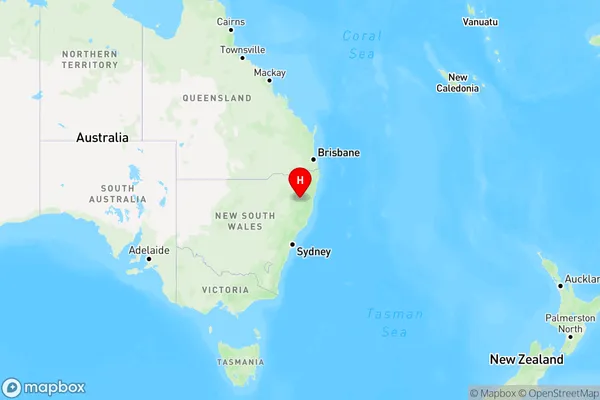
Metz Region Map
Country
Main Region in AU
R3Coordinates
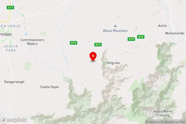
-30.5675,151.864 (latitude/longitude)Metz Area Map (Street)
Longitude
151.906153Latitude
-30.493397Metz Elevation
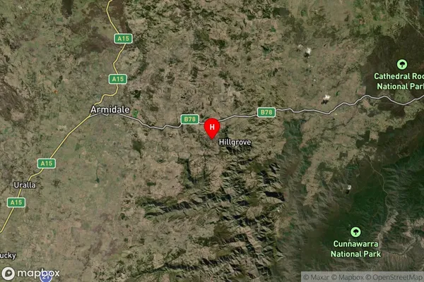
about -3492.00 meters height above sea level (Altitude)Metz Suburb Map (Satellite)
Distances
The distance from Metz, New England and North West, NSW to AU Greater Capital CitiesSA1 Code 2011
11001118711SA1 Code 2016
11001118711SA2 Code
110011187SA3 Code
11001SA4 Code
110RA 2011
3RA 2016
3MMM 2015
5MMM 2019
5Charge Zone
N2LGA Region
Armidale RegionalLGA Code
10180Electorate
Lyne