Armidale Region North Suburbs & Region, Armidale Region North Map & Postcodes
Armidale Region North Suburbs & Region, Armidale Region North Map & Postcodes in Armidale Region North, Inverell Tenterfield, New England and North West, NSW, AU
Armidale Region North Region
Region Name
Armidale Region North (NSW, AU)Armidale Region North Area
6098 square kilometers (6,098 ㎢)Postal Codes
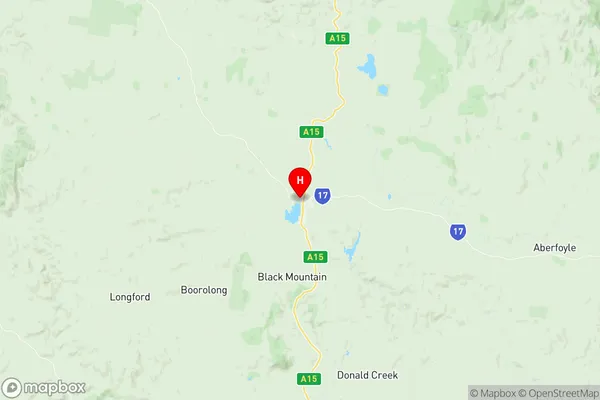
2350, 2365, 2370, 2440, and 2453 (In total, there are 5 postcodes in Armidale Region North.)Armidale Region North Suburb Area Map (Polygon)

Armidale Region North Introduction
Armidale Region North, New England and North West, New South Wales, AU, is a region located in the New England and North West areas of New South Wales, Australia. It is situated in the north-central part of the state and is known for its rich agricultural heritage, stunning natural landscapes, and vibrant cultural communities. The region is home to the city of Armidale, which is the administrative center and the largest town in the region. It is surrounded by picturesque countryside, including the Mount Werong Range, the New England National Park, and the Walcha Plains. The region is known for its production of wool, cotton, and other agricultural products, as well as for its tourism industry, which attracts visitors to the region's many heritage sites, national parks, and outdoor recreational opportunities.Australia State
City or Big Region
Greater Capital City
Rest of NSW (1RNSW)District or Regional Area
Suburb Name
Armidale Region North Region Map
Armidale Region North Postcodes / Zip Codes
Armidale Region North Suburbs
Armidale Region North full address
Armidale Region North, Inverell Tenterfield, New England and North West, New South Wales, NSW, Australia, SaCode: 110011187Country
Armidale Region North, Inverell Tenterfield, New England and North West, New South Wales, NSW, Australia, SaCode: 110011187
Armidale Region North Suburbs & Region, Armidale Region North Map & Postcodes has 0 areas or regions above, and there are 35 Armidale Region North suburbs below. The sa2code for the Armidale Region North region is 110011187. Its latitude and longitude coordinates are -30.2168,151.668. Armidale Region North area belongs to Australia's greater capital city Rest of NSW.
Armidale Region North Suburbs & Localities
1. Aberfoyle
2. Argyle
3. Boorolong
4. Boorolong
5. Donald Creek
6. Dumaresq
7. Duval
8. Hillgrove
9. Jeogla
10. Lyndhurst
11. Metz
12. Puddledock
13. Thalgarrah
14. Tilbuster
15. Wards Mistake
16. Wollomombi
17. Wongwibinda
18. Backwater
19. Bald Blair
20. Baldersleigh
21. Ben Lomond
22. Black Mountain
23. Brockley
24. Brushy Creek
25. Falconer
26. Green Hills
27. Guyra
28. Llangothlin
29. Oban
30. South Guyra
31. The Gulf
32. Tubbamurra
33. Kookabookra
34. Georges Creek
35. Ebor