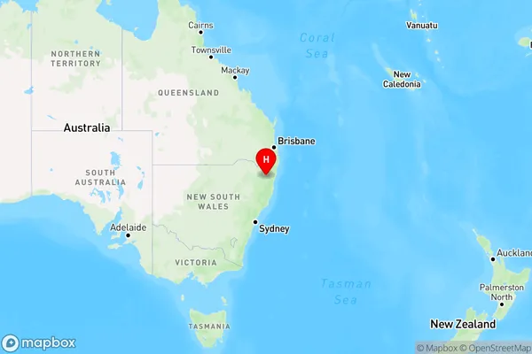
The Gulf Area, The Gulf Postcode(2365) & Map in The Gulf, New England and North West, NSW
The Gulf Area, The Gulf Postcode(2365) & Map in The Gulf, New England and North West, NSW, AU, Postcode: 2365
The Gulf, Armidale Region - North, Armidale, New England and North West, New South Wales, Australia, 2365
The Gulf Postcode
Area Name
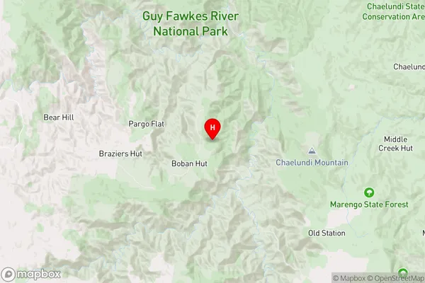
The GulfThe Gulf Suburb Area Map (Polygon)

The Gulf Introduction
The Gulf, New England and North West is a region in New South Wales, Australia. It is known for its stunning natural beauty, including the Great Barrier Reef, the Blue Mountains, and the Darling Downs. The region is also home to a diverse range of wildlife, including kangaroos, wallabies, and koalas. The Gulf is a popular tourist destination and is known for its outdoor activities, including fishing, hiking, and camping.State Name
City or Big Region
District or Regional Area
Suburb Name
The Gulf Region Map

Country
Main Region in AU
R3Coordinates
-30.0548,152.257 (latitude/longitude)The Gulf Area Map (Street)

Longitude
151.673028Latitude
-30.115913The Gulf Elevation
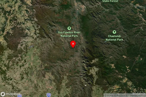
about 1360.80 meters height above sea level (Altitude)The Gulf Suburb Map (Satellite)

Distances
The distance from The Gulf, New England and North West, NSW to AU Greater Capital CitiesSA1 Code 2011
11001118710SA1 Code 2016
11001118710SA2 Code
110011187SA3 Code
11001SA4 Code
110RA 2011
3RA 2016
3MMM 2015
5MMM 2019
5Charge Zone
N2LGA Region
Armidale RegionalLGA Code
10180Electorate
Parkes