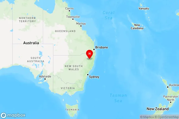
Llangothlin Area, Llangothlin Postcode(2365) & Map in Llangothlin, New England and North West, NSW
Llangothlin Area, Llangothlin Postcode(2365) & Map in Llangothlin, New England and North West, NSW, AU, Postcode: 2365
Llangothlin, Armidale Region - North, Armidale, New England and North West, New South Wales, Australia, 2365
Llangothlin Postcode
Area Name
LlangothlinLlangothlin Suburb Area Map (Polygon)

Llangothlin Introduction
Llangothlin is a rural locality in the Wollondilly Shire, New South Wales, Australia. It is located about 60 kilometers south of Sydney and 12 kilometers north of Bowral. The town is named after the Llangothlin River, which flows through it. The population of Llangothlin was 1,014 at the 2016 census. The town has a post office, a general store, and a primary school. The surrounding area is known for its agriculture, with crops such as wheat, barley, and olives being grown. The town also has a number of historic buildings, including the Llangothlin Homestead and the Llangothlin Chapel.State Name
City or Big Region
District or Regional Area
Suburb Name
Llangothlin Region Map

Country
Main Region in AU
R3Coordinates
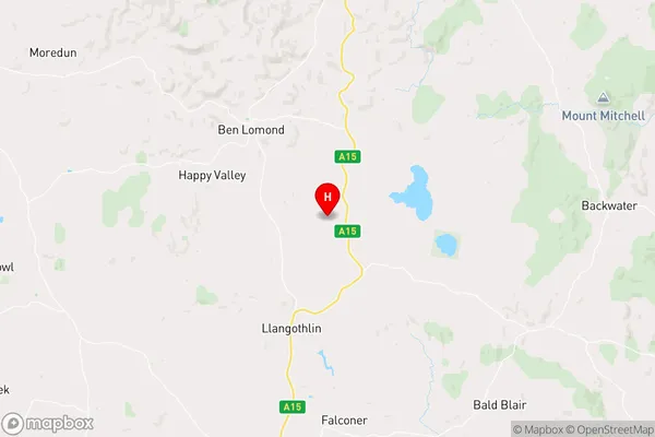
-30.0719783,151.7071416 (latitude/longitude)Llangothlin Area Map (Street)

Longitude
151.673028Latitude
-30.115913Llangothlin Elevation
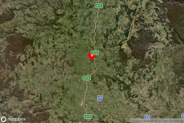
about 1360.80 meters height above sea level (Altitude)Llangothlin Suburb Map (Satellite)

Distances
The distance from Llangothlin, New England and North West, NSW to AU Greater Capital CitiesSA1 Code 2011
11001118707SA1 Code 2016
11001118707SA2 Code
110011187SA3 Code
11001SA4 Code
110RA 2011
3RA 2016
3MMM 2015
5MMM 2019
5Charge Zone
N2LGA Region
Armidale RegionalLGA Code
10180Electorate
Parkes