Gostwyck Area, Gostwyck Postcode(2358) & Map in Gostwyck, New England and North West, NSW
Gostwyck Area, Gostwyck Postcode(2358) & Map in Gostwyck, New England and North West, NSW, AU, Postcode: 2358
Gostwyck, Armidale Region - South, Armidale, New England and North West, New South Wales, Australia, 2358
Gostwyck Postcode
Area Name
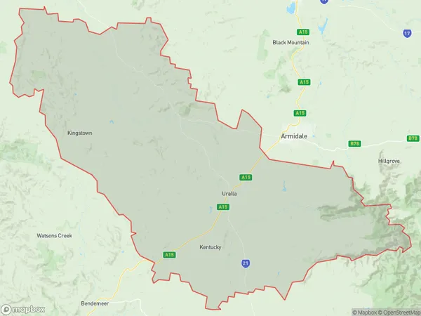
GostwyckGostwyck Suburb Area Map (Polygon)

Gostwyck Introduction
Gostwyck is a historic homestead located in the Macquarie Valley, New England and North West, NSW, AU. It is a place of great cultural and natural significance, with stunning gardens and a rich history. The homestead is now a popular tourist destination and a place of learning and conservation.State Name
City or Big Region
District or Regional Area
Suburb Name
Gostwyck Region Map

Country
Main Region in AU
R3Coordinates
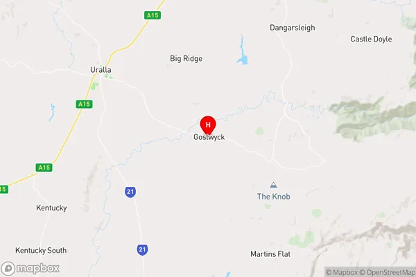
-30.699893,151.6061431 (latitude/longitude)Gostwyck Area Map (Street)

Longitude
151.297519Latitude
-30.540297Gostwyck Elevation
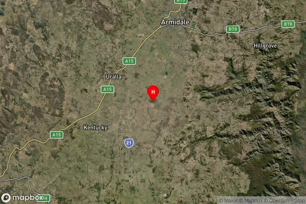
about 791.68 meters height above sea level (Altitude)Gostwyck Suburb Map (Satellite)

Distances
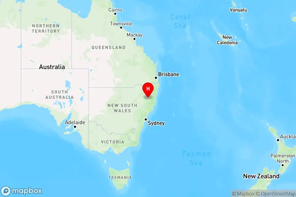
The distance from Gostwyck, New England and North West, NSW to AU Greater Capital CitiesSA1 Code 2011
11001118811SA1 Code 2016
11001118811SA2 Code
110011188SA3 Code
11001SA4 Code
110RA 2011
3RA 2016
3MMM 2015
5MMM 2019
5Charge Zone
N2LGA Region
UrallaLGA Code
17650Electorate
Lyne