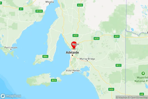
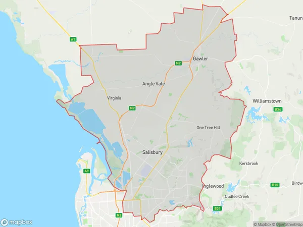
Adelaide North Suburbs & Region, Adelaide North Map & Postcodes
Adelaide North Suburbs & Region, Adelaide North Map & Postcodes in Adelaide North, SA, AU
Adelaide North Region
Region Name
Adelaide North (SA, AU)Adelaide North Area
939.99 square kilometers (939.99 ㎢)Adelaide North Introduction
Adelaide North is a suburb of Adelaide, South Australia, located in the City of Norwood Payneham & St Peters. It is bordered by Main North Road, Port Road, and North East Road. The suburb is known for its historic homes and gardens, as well as its vibrant community. It is home to a number of parks and recreational facilities, including the Adelaide North Football Club and the Norwood Morialta Hockey Club. Adelaide North is also well-connected to the city center, with public transportation options available.Australia State
City or Big Region
Adelaide North Region Map

Adelaide North Suburbs
Gawler Two Wells
Port Adelaide East
Tea Tree Gully
Adelaide North full address
Adelaide North, South Australia, SA, Australia, SaCode: 402Country
Adelaide North, South Australia, SA, Australia, SaCode: 402
Adelaide North Suburbs & Region, Adelaide North Map & Postcodes has 5 areas or regions above, and there are 0 Adelaide North suburbs below. The sa4code for the Adelaide North region is 402. Its latitude and longitude coordinates are -34.72,138.673.
