Evanston Area, Evanston Postcode(5116) & Map in Evanston, Adelaide - North, SA
Evanston Area, Evanston Postcode(5116) & Map in Evanston, Adelaide - North, SA, AU, Postcode: 5116
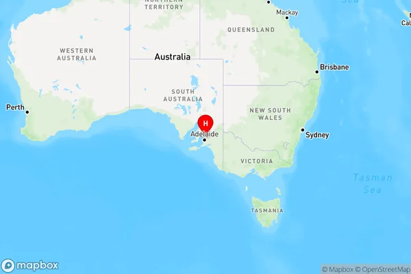
Evanston, Gawler - South, Gawler - Two Wells, Adelaide - North, South Australia, Australia, 5116
Evanston Postcode
Area Name
EvanstonEvanston Suburb Area Map (Polygon)

Evanston Introduction
Evanston is a suburb of Adelaide, South Australia, located 10 km north of the city center. It is known for its parks, gardens, and wildlife, including the Evanston Wetlands. The suburb has a population of approximately 10,000 people and is home to several schools, including Evanston Primary School and Evanston Gardens High School.State Name
City or Big Region
District or Regional Area
Suburb Name
Evanston Region Map
Country
Main Region in AU
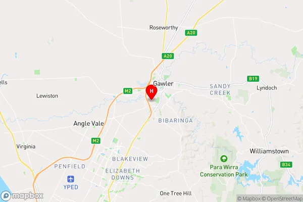
R2Coordinates
-34.616111,138.731667 (latitude/longitude)Evanston Area Map (Street)
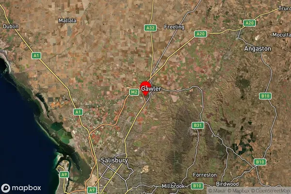
Longitude
138.724059Latitude
-34.622783Evanston Suburb Map (Satellite)
Distances
The distance from Evanston, Adelaide - North, SA to AU Greater Capital CitiesSA1 Code 2011
40201102639SA1 Code 2016
40201102639SA2 Code
402011026SA3 Code
40201SA4 Code
402RA 2011
1RA 2016
1MMM 2015
1MMM 2019
1Charge Zone
S1LGA Region
GawlerLGA Code
42030Electorate
Spence