Buckland Park Area, Buckland Park Postcode(5120) & Map in Buckland Park, Adelaide - North, SA
Buckland Park Area, Buckland Park Postcode(5120) & Map in Buckland Park, Adelaide - North, SA, AU, Postcode: 5120
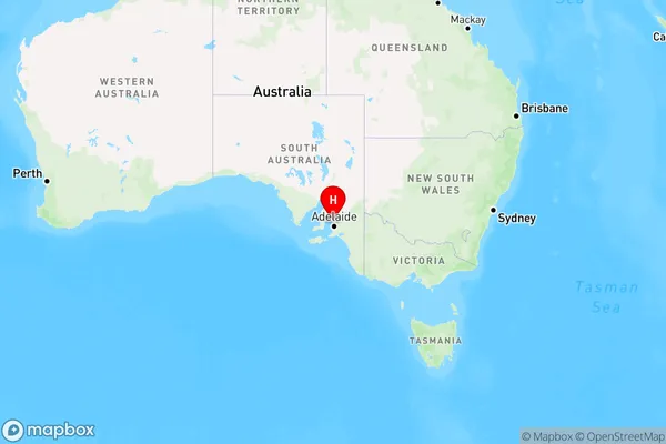
Buckland Park, Virginia - Waterloo Corner, Playford, Adelaide - North, South Australia, Australia, 5120
Buckland Park Postcode
Area Name
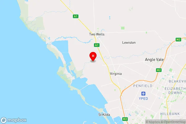
Buckland ParkBuckland Park Suburb Area Map (Polygon)

Buckland Park Introduction
Buckland Park is a suburb of Adelaide, South Australia, located 10 km north of the city center. It is known for its parks, including the popular Buckland Park Reserve, and its proximity to the Adelaide Hills. The suburb has a mix of residential and commercial areas and is home to a variety of businesses and amenities.State Name
City or Big Region
District or Regional Area
Suburb Name
Buckland Park Region Map
Country
Main Region in AU
R2Coordinates
-34.6457618,138.5102836 (latitude/longitude)Buckland Park Area Map (Street)
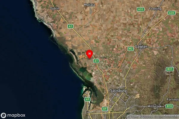
Longitude
138.507899Latitude
-34.668553Buckland Park Suburb Map (Satellite)
Distances
The distance from Buckland Park, Adelaide - North, SA to AU Greater Capital CitiesSA1 Code 2011
40202103503SA1 Code 2016
40202103503SA2 Code
402021035SA3 Code
40202SA4 Code
402RA 2011
2RA 2016
2MMM 2015
2MMM 2019
2Charge Zone
S1LGA Region
PlayfordLGA Code
45680Electorate
Spence