Port Adelaide East Suburbs & Region, Port Adelaide East Map & Postcodes
Port Adelaide East Suburbs & Region, Port Adelaide East Map & Postcodes in Port Adelaide East, Adelaide North, SA, AU
Port Adelaide East Region
Region Name
Port Adelaide East (SA, AU)Port Adelaide East Area
34.84 square kilometers (34.84 ㎢)Postal Codes
5070, 5074, and from 5083 to 5087 (In total, there are 7 postcodes in Port Adelaide East.)Port Adelaide East Introduction
Port Adelaide East is a suburb of Adelaide, South Australia, located in the City of Charles Sturt. It is bordered by the North East Road, Port Road, and the Marion Road. The suburb has a rich history, with the first settlers arriving in the 1830s. It was named after the Port Adelaide Enclosure, which was established in 1836. The suburb has a variety of housing styles, from historic homes to modern apartments. It is home to several parks and recreational facilities, including the Port Adelaide Football Club and the Adelaide Showground. The suburb is also well-connected to the rest of Adelaide, with public transport options and easy access to the city center.Australia State
City or Big Region
District or Regional Area
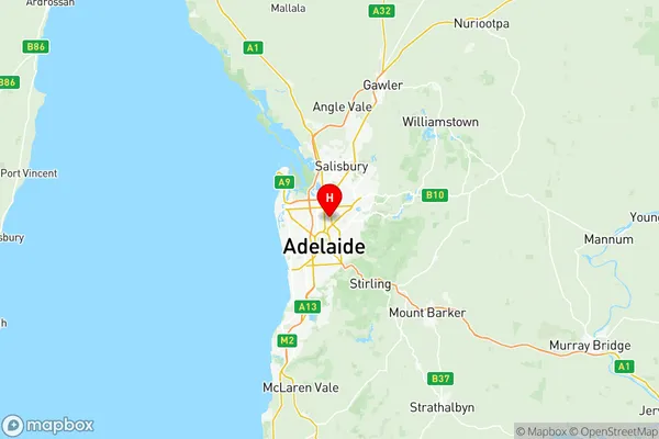
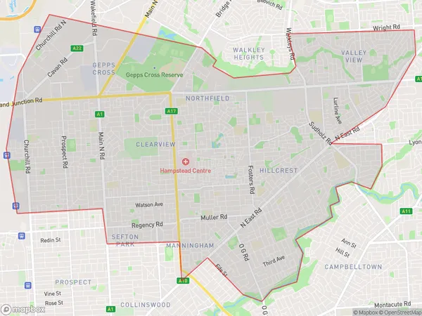
Port Adelaide East Region Map

Port Adelaide East Postcodes / Zip Codes
Port Adelaide East Suburbs
Payneham Felixstow
Nailsworth Broadview
Northgate Northfield
Valley View Gilles Plains
Port Adelaide East full address
Port Adelaide East, Adelaide North, South Australia, SA, Australia, SaCode: 40203Country
Port Adelaide East, Adelaide North, South Australia, SA, Australia, SaCode: 40203
Port Adelaide East Suburbs & Region, Port Adelaide East Map & Postcodes has 6 areas or regions above, and there are 33 Port Adelaide East suburbs below. The sa3code for the Port Adelaide East region is 40203. Its latitude and longitude coordinates are -34.873,138.614.
Port Adelaide East Suburbs & Localities
1. Newton
2. Broadview
3. Clearview
4. Lightsview
5. Northgate
6. Hampstead Gardens
7. Manningham
8. Firle
9. Glynde Plaza
10. Joslin
11. Campbelltown
12. Blair Athol
14. Felixstow
15. Glynde Dc
16. Marden
17. Payneham
18. Payneham South
19. Sefton Park
20. Blair Athol West
21. Kilburn
22. Enfield Plaza
23. Greenacres
24. Hillcrest
25. Glynde
26. Royston Park
27. Nailsworth
28. Kilburn North
29. Enfield
30. Northfield
31. Gilles Plains
32. Klemzig
33. Windsor Gardens
