Payneham South Area, Payneham South Postcode(5070) & Map in Payneham South, Adelaide - Central and Hills, SA
Payneham South Area, Payneham South Postcode(5070) & Map in Payneham South, Adelaide - Central and Hills, SA, AU, Postcode: 5070
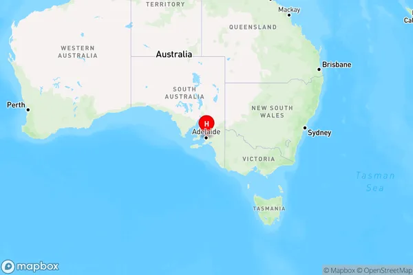
Payneham South, Payneham - Felixstow, Norwood - Payneham - St Peters, Adelaide - Central and Hills, South Australia, Australia, 5070
Payneham South Postcode
Area Name
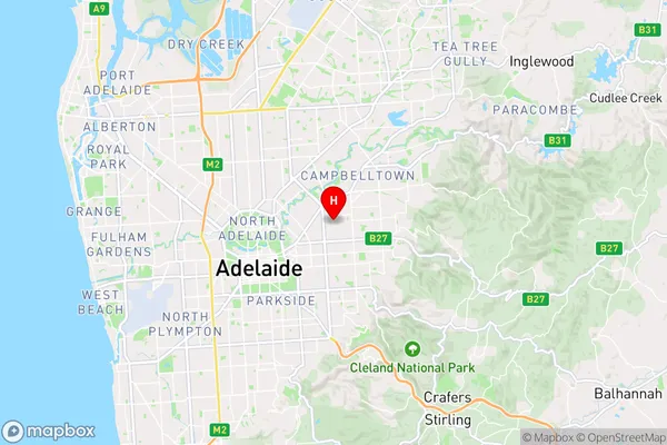
Payneham SouthPayneham South Suburb Area Map (Polygon)

Payneham South Introduction
Payneham South is a suburb of Adelaide, Australia, located in the City of Tea Tree Gully. It is known for its parks, including Payneham Memorial Gardens and Payneham Oval. The suburb has a mix of residential and commercial areas and is home to a variety of businesses, including cafes, restaurants, and shops.State Name
City or Big Region
District or Regional Area
Suburb Name
Payneham South Region Map
Country
Main Region in AU
R2Coordinates
-34.905,138.646 (latitude/longitude)Payneham South Area Map (Street)
Longitude
138.642172Latitude
-34.900496Payneham South Elevation
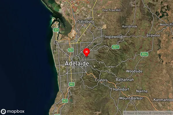
about 56.62 meters height above sea level (Altitude)Payneham South Suburb Map (Satellite)
Distances
The distance from Payneham South, Adelaide - Central and Hills, SA to AU Greater Capital CitiesSA1 Code 2011
40105101810SA1 Code 2016
40105101810SA2 Code
401051018SA3 Code
40105SA4 Code
401RA 2011
1RA 2016
1MMM 2015
1MMM 2019
1Charge Zone
S1LGA Region
Norwood Payneham and St PetersLGA Code
45290Electorate
Sturt