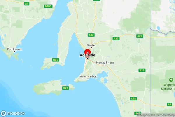
Adelaide Central and Hills Suburbs & Region, Adelaide Central and Hills Map & Postcodes
Adelaide Central and Hills Suburbs & Region, Adelaide Central and Hills Map & Postcodes in Adelaide Central and Hills, SA, AU
Adelaide Central and Hills Region
Region Name
Adelaide Central and Hills (SA, AU)Adelaide Central and Hills Area
1497 square kilometers (1,497 ㎢)Postal Codes
5000, 5001, 5005, 5006, 5034, 5061, 5063, from 5065 to 5069, from 5071 to 5073, 5081, from 5132 to 5134, from 5136 to 5142, 5144, 5151, 5154, 5155, 5232, 5233, from 5240 to 5243, 5245, 5250, 5251, 5800, 5801, 5810, and 5839 (In total, there are 43 postcodes in Adelaide Central and Hills.)Adelaide Central and Hills Introduction
Adelaide Central and Hills is a suburb of Adelaide, South Australia, located in the City of Norwood Payneham & St Peters. It is bordered by Prospect, Unley, Marion, and Blackwood. The suburb is known for its leafy streets, historic homes, and vibrant community. It is home to several parks, including the Royal Adelaide Golf Club and the Adelaide Botanic Garden. Adelaide Central and Hills is also home to several major shopping centers, including Westfield Marion and Westfield Tea Tree Plaza. The suburb is well-connected to the rest of Adelaide via public transport, with several bus routes and the Marion Train Station located within walking distance.Australia State
City or Big Region
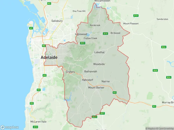
Adelaide Central and Hills Region Map

Adelaide Central and Hills Postcodes / Zip Codes
Adelaide Central and Hills Suburbs
Campbelltown (SA)
Norwood Payneham St Peters
Prospect Walkerville
Adelaide Central and Hills full address
Adelaide Central and Hills, South Australia, SA, Australia, SaCode: 401Country
Adelaide Central and Hills, South Australia, SA, Australia, SaCode: 401
Adelaide Central and Hills Suburbs & Region, Adelaide Central and Hills Map & Postcodes has 7 areas or regions above, and there are 125 Adelaide Central and Hills suburbs below. The sa4code for the Adelaide Central and Hills region is 401. Its latitude and longitude coordinates are -34.9328,138.604.
Adelaide Central and Hills Suburbs & Localities
1. The University Of Adelaide
2. Adelaide
3. North Adelaide
4. Paracombe
5. Forreston
6. Cudlee Creek
7. Inglewood
8. Bridgewater
9. Piccadilly
10. Aldgate
11. Hahndorf
12. Balhannah
13. Forest Range
14. Lenswood
15. Lobethal
16. Oakbank
17. Mount Barker
18. Blakiston
19. Teringie
20. Ashton
21. Carey Gully
22. Basket Range
23. Horsnell Gully
24. Greenhill
25. Cherryville
26. Norton Summit
27. Uraidla
28. Burnside
29. Kensington Park
30. Beulah Park
31. Frewville
32. Glenside
33. Hectorville
34. Kent Town Dc
35. College Park
36. Medindie Gardens
37. Unley Park
38. Clarence Park
