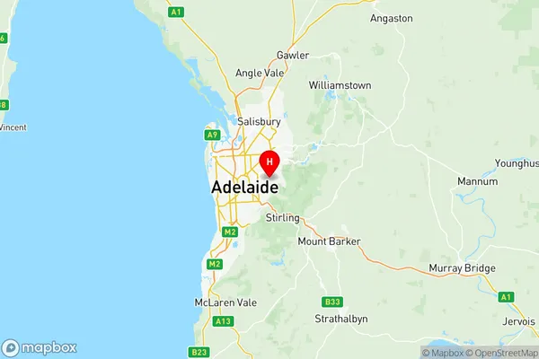
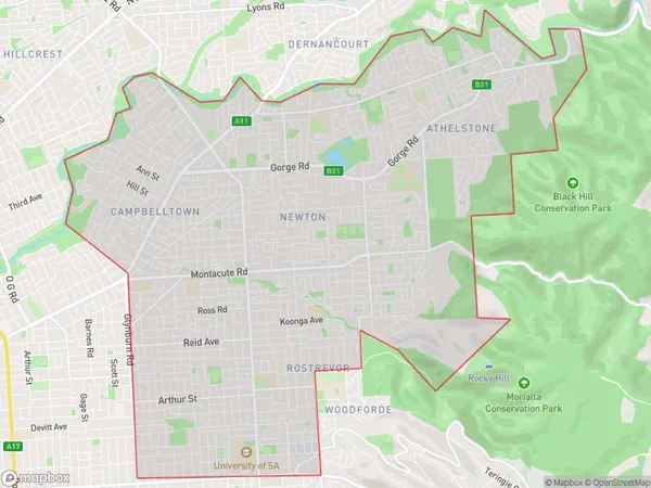
Campbelltown (SA) Suburbs & Region, Campbelltown (SA) Map & Postcodes
Campbelltown (SA) Suburbs & Region, Campbelltown (SA) Map & Postcodes in Campbelltown (SA), Adelaide Central and Hills, SA, AU
Campbelltown (SA) Region
Region Name
Campbelltown (SA) (SA, AU)Campbelltown (SA) Area
25.37 square kilometers (25.37 ㎢)Postal Codes
5072, and 5073 (In total, there are 2 postcodes in Campbelltown (SA).)Campbelltown (SA) Introduction
Campbelltown is a suburb of Adelaide, South Australia, located in the City of Campbelltown. It is situated approximately 10 kilometers south of the Adelaide city center and is part of the Adelaide Hills Council. The suburb has a population of around 40,000 people and is known for its historic buildings, parks, and recreational facilities. It is also home to several major industries, including manufacturing, logistics, and healthcare. Campbelltown is well-connected to the rest of Adelaide via public transport, with several bus and train routes servicing the area. The suburb has a variety of shopping centers, including the Campbelltown Central Shopping Centre and the Westfield Marion Shopping Centre, as well as a number of restaurants and cafes.Australia State
City or Big Region
District or Regional Area
Campbelltown (SA) Region Map

Campbelltown (SA) Postcodes / Zip Codes
Campbelltown (SA) Suburbs
Campbelltown (SA) full address
Campbelltown (SA), Adelaide Central and Hills, South Australia, SA, Australia, SaCode: 40104Country
Campbelltown (SA), Adelaide Central and Hills, South Australia, SA, Australia, SaCode: 40104
Campbelltown (SA) Suburbs & Region, Campbelltown (SA) Map & Postcodes has 2 areas or regions above, and there are 12 Campbelltown (SA) suburbs below. The sa3code for the Campbelltown (SA) region is 40104. Its latitude and longitude coordinates are -34.909,138.676.
Campbelltown (SA) Suburbs & Localities
1. Rosslyn Park
2. Skye
3. Hectorville
4. Tranmere
5. Magill
6. Rostrevor
7. Teringie
8. Woodforde
9. Auldana
10. Magill North
11. Magill South
12. Tranmere North
