Tranmere Area, Tranmere Postcode(5073) & Map in Tranmere, Adelaide - Central and Hills, SA
Tranmere Area, Tranmere Postcode(5073) & Map in Tranmere, Adelaide - Central and Hills, SA, AU, Postcode: 5073
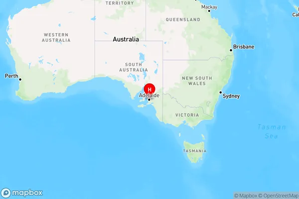
Tranmere, Rostrevor - Magill, Campbelltown (SA), Adelaide - Central and Hills, South Australia, Australia, 5073
Tranmere Postcode
Area Name
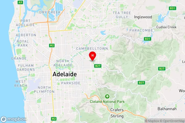
TranmereTranmere Suburb Area Map (Polygon)

Tranmere Introduction
Tranmere, Adelaide - Central and Hills, SA, AU is a suburb located in the City of Tea Tree Gully, South Australia. It is known for its natural beauty, including parks, reserves, and walking trails. Tranmere is also home to several schools, including Tranmere Primary School and St. Paul's Lutheran School.State Name
City or Big Region
District or Regional Area
Suburb Name
Tranmere Region Map
Country
Main Region in AU
R2Coordinates
-34.905,138.662 (latitude/longitude)Tranmere Area Map (Street)
Longitude
138.683151Latitude
-34.89528Tranmere Elevation
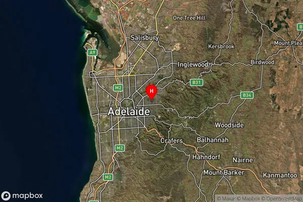
about 109.48 meters height above sea level (Altitude)Tranmere Suburb Map (Satellite)
Distances
The distance from Tranmere, Adelaide - Central and Hills, SA to AU Greater Capital CitiesSA1 Code 2011
40104101636SA1 Code 2016
40104101636SA2 Code
401041016SA3 Code
40104SA4 Code
401RA 2011
1RA 2016
1MMM 2015
1MMM 2019
1Charge Zone
S1LGA Region
CampbelltownLGA Code
40910Electorate
Sturt