ZipCode 5072 Areas, AU PostCode 5072 Suburbs
Postcode 5072 Suburbs, ZipCode 5072 Areas & Regions in Burnside,SA Australia
There are at least 8 AU suburbs share the same AU PostCode 5072 Suburbs in Burnside, Campbelltown (SA), Adelaide Hills.
Postal Code 5072 Regions
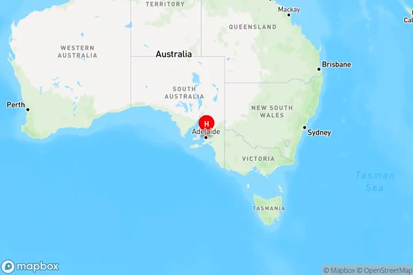
The Australia postcode 5072 regions include Burnside - Wattle Park, Rostrevor - Magill, Uraidla - Summertown in the areas of Burnside, Campbelltown (SA), Adelaide Hills, Burnside - Wattle Park, These postcode areas are all located in the state South Australia, SA.
ZipCode 5072 Areas Map for Burnside - Wattle Park

AU PostCode 5072 Suburbs Map for Rostrevor - Magill

Postal Code 5072 Regions Map for Uraidla - Summertown

AU PostCode 5072 Suburbs
AU PostCode 5072 suburbs contain Rosslyn Park, Skye, Magill, Teringie, Woodforde, Auldana, Magill North, Magill South, you can check the below link to see the 8 suburbs detailed information.
AU PostCode 5072 Suburbs Map
ZipCode 5072 Areas
1. Rosslyn Park
2. Skye
3. Magill
4. Teringie
5. Woodforde
6. Auldana
7. Magill North
8. Magill South