Skye Area, Skye Postcode(5072) & Map in Skye, Adelaide - Central and Hills, SA
Skye Area, Skye Postcode(5072) & Map in Skye, Adelaide - Central and Hills, SA, AU, Postcode: 5072
Skye, Burnside - Wattle Park, Burnside, Adelaide - Central and Hills, South Australia, Australia, 5072
Skye Postcode
Area Name
SkyeSkye Suburb Area Map (Polygon)

Skye Introduction
Skye is a suburb of Adelaide, South Australia, located in the City of Tea Tree Gully. It is known for its natural beauty, including the Skye Recreation Park and the Skye Reservoir. The suburb has a population of approximately 10,000 people and is home to a variety of businesses and amenities.State Name
City or Big Region
District or Regional Area
Suburb Name
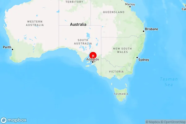
Skye Region Map
Country
Main Region in AU
R2Coordinates
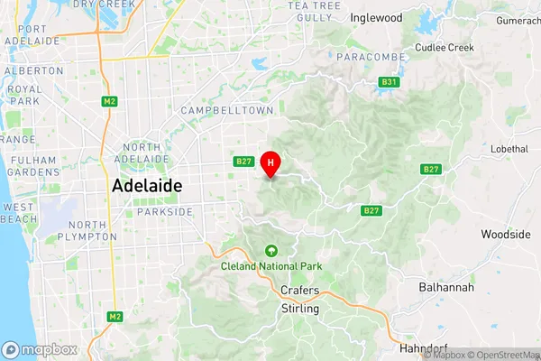
-34.925,138.694 (latitude/longitude)Skye Area Map (Street)
Longitude
138.696113Latitude
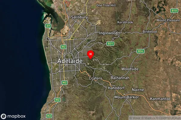
-34.912078Skye Suburb Map (Satellite)
Distances
The distance from Skye, Adelaide - Central and Hills, SA to AU Greater Capital CitiesSA1 Code 2011
40103101122SA1 Code 2016
40103101122SA2 Code
401031011SA3 Code
40103SA4 Code
401RA 2011
1RA 2016
1MMM 2015
1MMM 2019
1Charge Zone
S1LGA Region
CampbelltownLGA Code
40910Electorate
Sturt