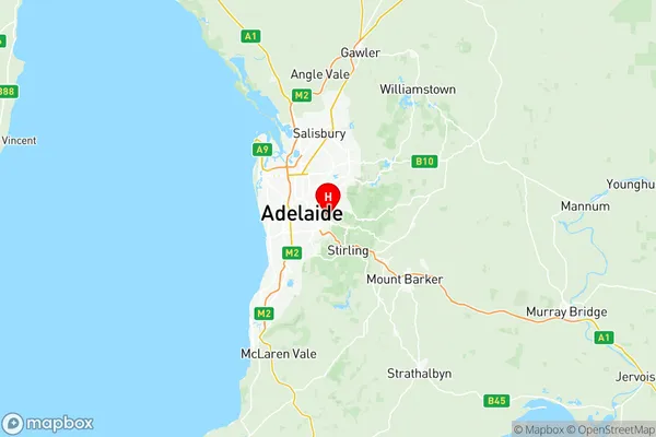
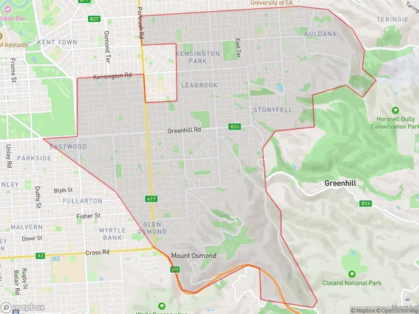
Burnside Suburbs & Region, Burnside Map & Postcodes
Burnside Suburbs & Region, Burnside Map & Postcodes in Burnside, Adelaide Central and Hills, SA, AU
Burnside Region
Region Name
Burnside (SA, AU)Burnside Area
27.52 square kilometers (27.52 ㎢)Postal Codes
5065, and 5066 (In total, there are 2 postcodes in Burnside.)Burnside Introduction
Burnside, Adelaide Central and Hills is a suburb of Adelaide, South Australia. It is located in the City of Norwood Payneham & St Peters and is bordered by Main North Road, King William Road, Fullarton Road, and Port Road. The suburb has a rich history and was named after a Scottish town. It is home to several historic buildings, including the Burnside Village Shopping Centre and the Burnside War Memorial. The suburb is also known for its vibrant community and popular parks, including the Burnside Gardens and the Morphettville Racecourse.Australia State
City or Big Region
District or Regional Area
Burnside Region Map

Burnside Postcodes / Zip Codes
Burnside Suburbs
Burnside full address
Burnside, Adelaide Central and Hills, South Australia, SA, Australia, SaCode: 40103Country
Burnside, Adelaide Central and Hills, South Australia, SA, Australia, SaCode: 40103
Burnside Suburbs & Region, Burnside Map & Postcodes has 1 areas or regions above, and there are 12 Burnside suburbs below. The sa3code for the Burnside region is 40103. Its latitude and longitude coordinates are -34.939,138.666.
Burnside Suburbs & Localities
1. Glenside
2. Burnside
3. Dulwich
4. Toorak Gardens
5. Hazelwood Park
6. Waterfall Gully
7. Linden Park
8. Tusmore
9. Beaumont
10. Erindale
11. Stonyfell
12. Wattle Park
