Stonyfell Area, Stonyfell Postcode(5066) & Map in Stonyfell, Adelaide - Central and Hills, SA
Stonyfell Area, Stonyfell Postcode(5066) & Map in Stonyfell, Adelaide - Central and Hills, SA, AU, Postcode: 5066
Stonyfell, Burnside - Wattle Park, Burnside, Adelaide - Central and Hills, South Australia, Australia, 5066
Stonyfell Postcode
Area Name
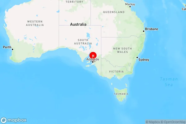
StonyfellStonyfell Suburb Area Map (Polygon)

Stonyfell Introduction
Stonyfell is a suburb of Adelaide, located in the City of Norwood Payneham & St Peters. It is named after the Stonyfell Quarry, which operated from 1860 to 1972. The quarry was a major source of stone for the construction of buildings in Adelaide, including the Adelaide Oval and the University of South Australia. Stonyfell is a diverse suburb with a mix of residential and commercial properties. It is home to a number of parks and recreational facilities, including the Stonyfell Reserve and the Stonyfell Golf Course. The suburb is also well-connected to the rest of Adelaide, with easy access to the Adelaide CBD and the Adelaide Hills.State Name
City or Big Region
District or Regional Area
Suburb Name
Stonyfell Region Map

Country
Main Region in AU
R2Coordinates
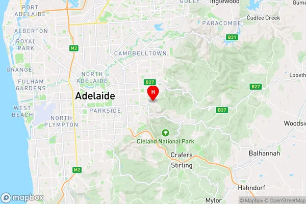
-34.935,138.678 (latitude/longitude)Stonyfell Area Map (Street)

Longitude
138.66029Latitude
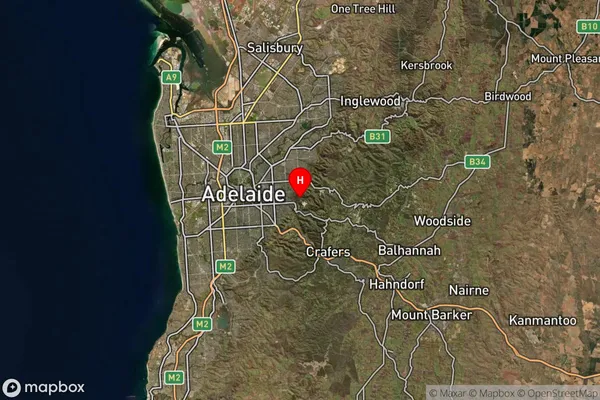
-34.940962Stonyfell Suburb Map (Satellite)

Distances
The distance from Stonyfell, Adelaide - Central and Hills, SA to AU Greater Capital CitiesSA1 Code 2011
40103101104SA1 Code 2016
40103101104SA2 Code
401031011SA3 Code
40103SA4 Code
401RA 2011
1RA 2016
1MMM 2015
1MMM 2019
1Charge Zone
S1LGA Region
BurnsideLGA Code
40700Electorate
Sturt