Burnside Area, Burnside Postcode(5066) & Map in Burnside, Adelaide - Central and Hills, SA
Burnside Area, Burnside Postcode(5066) & Map in Burnside, Adelaide - Central and Hills, SA, AU, Postcode: 5066
Burnside, Burnside - Wattle Park, Burnside, Adelaide - Central and Hills, South Australia, Australia, 5066
Burnside Postcode
Area Name
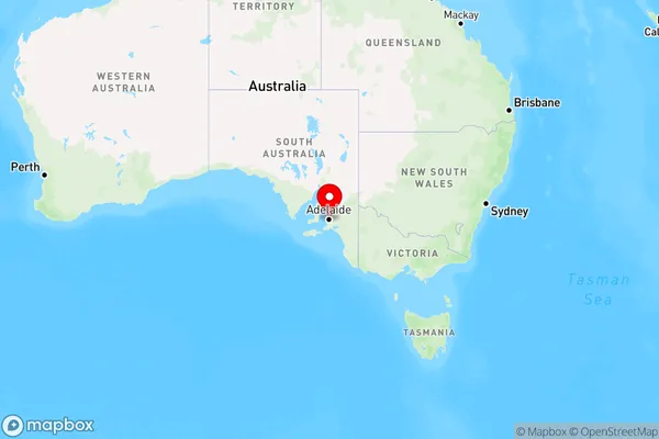
BurnsideBurnside Suburb Area Map (Polygon)

Burnside Introduction
Burnside is a suburb of Adelaide, located in the City of Norwood Payneham & St Peters. It is named after Sir George Grey, who was Premier of South Australia from 1858 to 1861. The suburb has a variety of shops, restaurants, and parks, and is home to the Burnside Village Shopping Centre and the Burnside Hospital.State Name
City or Big Region
District or Regional Area
Suburb Name
Burnside Region Map

Country
Main Region in AU
R2Coordinates
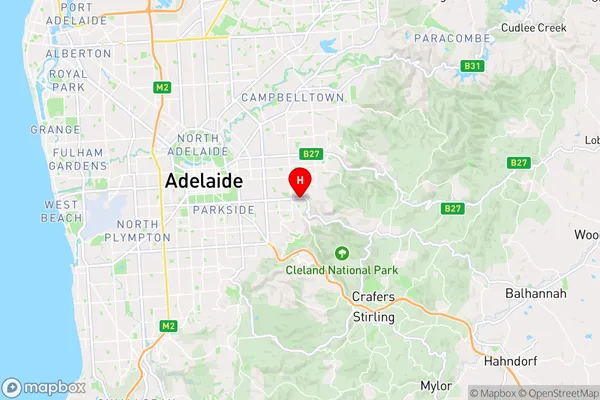
-34.939,138.666 (latitude/longitude)Burnside Area Map (Street)

Longitude
138.66029Latitude
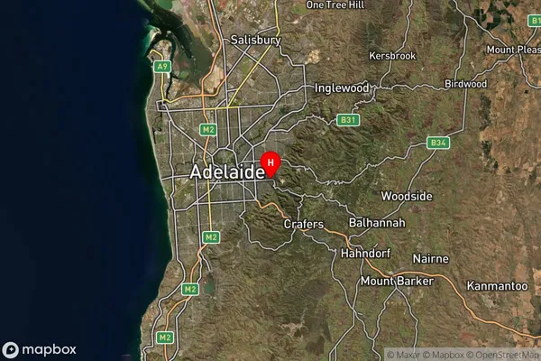
-34.940962Burnside Suburb Map (Satellite)

Distances
The distance from Burnside, Adelaide - Central and Hills, SA to AU Greater Capital CitiesSA1 Code 2011
40103101111SA1 Code 2016
40103101111SA2 Code
401031011SA3 Code
40103SA4 Code
401RA 2011
1RA 2016
1MMM 2015
1MMM 2019
1Charge Zone
S1LGA Region
BurnsideLGA Code
40700Electorate
Sturt