Dulwich Area, Dulwich Postcode(5065) & Map in Dulwich, Adelaide - Central and Hills, SA
Dulwich Area, Dulwich Postcode(5065) & Map in Dulwich, Adelaide - Central and Hills, SA, AU, Postcode: 5065
Dulwich, Toorak Gardens, Burnside, Adelaide - Central and Hills, South Australia, Australia, 5065
Dulwich Postcode
Area Name
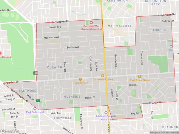
DulwichDulwich Suburb Area Map (Polygon)

Dulwich Introduction
Dulwich is a suburb of Adelaide, located in the City of Norwood Payneham & St Peters. It is known for its historic charm, with many well-preserved buildings from the 19th and early 20th centuries. The suburb has a strong community spirit and is home to a variety of shops, cafes, and restaurants. It is also well-connected to the city center, with public transportation and easy access to major roads.State Name
City or Big Region
District or Regional Area
Suburb Name
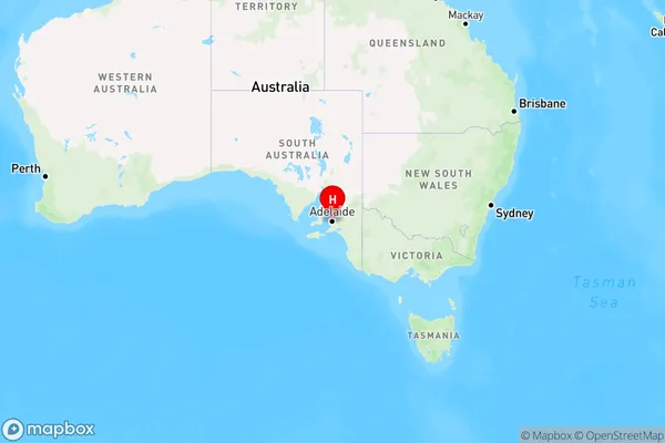
Dulwich Region Map

Country
Main Region in AU
R2Coordinates
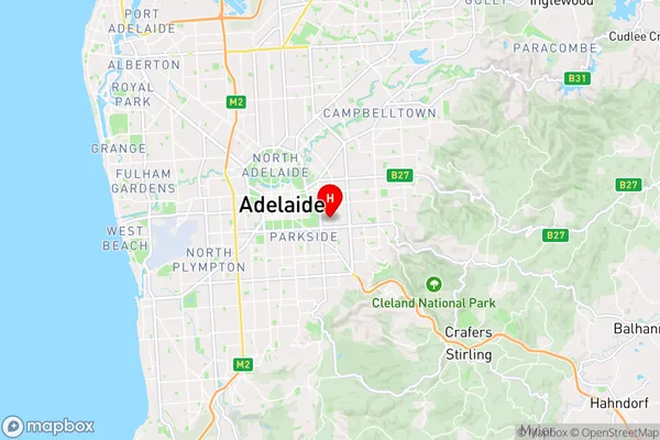
-34.936,138.63 (latitude/longitude)Dulwich Area Map (Street)

Longitude
138.633974Latitude
-34.940362Dulwich Elevation
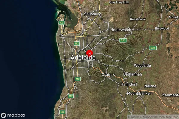
about 70.53 meters height above sea level (Altitude)Dulwich Suburb Map (Satellite)

Distances
The distance from Dulwich, Adelaide - Central and Hills, SA to AU Greater Capital CitiesSA1 Code 2011
40103101316SA1 Code 2016
40103101316SA2 Code
401031013SA3 Code
40103SA4 Code
401RA 2011
1RA 2016
1MMM 2015
1MMM 2019
1Charge Zone
S1LGA Region
BurnsideLGA Code
40700Electorate
Sturt