Carey Gully Area, Carey Gully Postcode(5144) & Map in Carey Gully, Adelaide - Central and Hills, SA
Carey Gully Area, Carey Gully Postcode(5144) & Map in Carey Gully, Adelaide - Central and Hills, SA, AU, Postcode: 5144
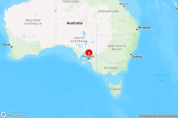
Carey Gully, Uraidla - Summertown, Adelaide Hills, Adelaide - Central and Hills, South Australia, Australia, 5144
Carey Gully Postcode
Area Name
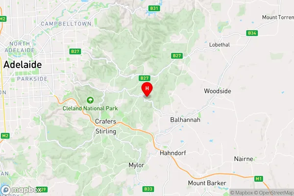
Carey GullyCarey Gully Suburb Area Map (Polygon)

Carey Gully Introduction
Carey Gully is a suburb of Adelaide, South Australia, located in the City of Tea Tree Gully. It is known for its natural beauty, including the Carey Gully Conservation Park and the Carey Gully Recreation Park. The suburb is also home to a number of schools, including Carey Gully Primary School and Carey Gully High School.State Name
City or Big Region
District or Regional Area
Suburb Name
Carey Gully Region Map
Country
Main Region in AU
R2Coordinates
-34.966565,138.7743842 (latitude/longitude)Carey Gully Area Map (Street)
Longitude
138.769031Latitude
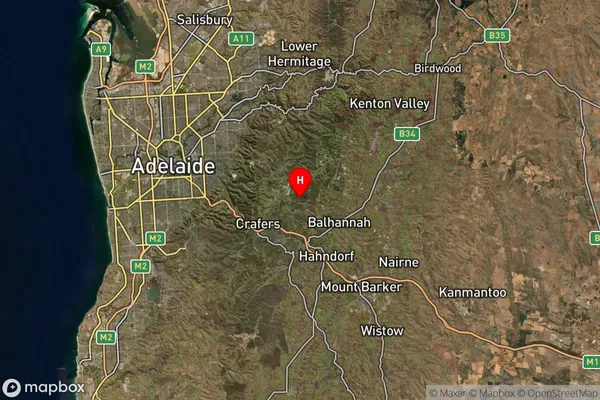
-34.968504Carey Gully Suburb Map (Satellite)
Distances
The distance from Carey Gully, Adelaide - Central and Hills, SA to AU Greater Capital CitiesSA1 Code 2011
40102101001SA1 Code 2016
40102101001SA2 Code
401021010SA3 Code
40102SA4 Code
401RA 2011
2RA 2016
2MMM 2015
2MMM 2019
2Charge Zone
S1LGA Region
Adelaide HillsLGA Code
40120Electorate
Mayo