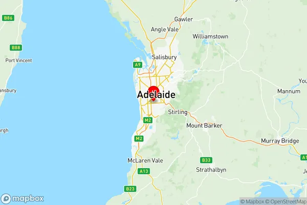
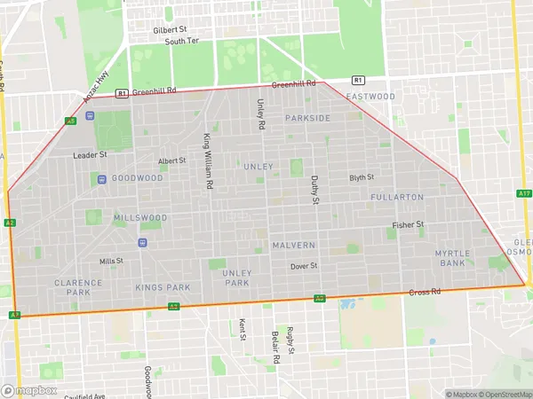
Unley Suburbs & Region, Unley Map & Postcodes
Unley Suburbs & Region, Unley Map & Postcodes in Unley, Adelaide Central and Hills, SA, AU
Unley Region
Region Name
Unley (SA, AU)Unley Area
14.27 square kilometers (14.27 ㎢)Postal Codes
5034, 5061, and 5063 (In total, there are 3 postcodes in Unley.)Unley Introduction
Unley is a suburb of Adelaide, South Australia, located in the City of Norwood Payneham & St Peters. It is bordered by King William Road, Goodwood Road, Fullarton Road, and Marion Road. The suburb is named after Sir John Unley, who was Premier of South Australia from 1893 to 1898. Unley is known for its tree-lined streets, historic homes, and vibrant community. It is home to several parks, including Unley Park, which features a playground, picnic facilities, and a cricket ground. The suburb also has a variety of shopping centers, including the Unley Shopping Center and the King William Road Shopping Center. Unley is well-connected to the rest of Adelaide, with public transport options including buses and trains. It is also close to several universities, including the University of South Australia and the University of Adelaide.Australia State
City or Big Region
District or Regional Area
Unley Region Map

Unley Postcodes / Zip Codes
Unley Suburbs
Unley full address
Unley, Adelaide Central and Hills, South Australia, SA, Australia, SaCode: 40107Country
Unley, Adelaide Central and Hills, South Australia, SA, Australia, SaCode: 40107
Unley Suburbs & Region, Unley Map & Postcodes has 0 areas or regions above, and there are 16 Unley suburbs below. The sa3code for the Unley region is 40107. Its latitude and longitude coordinates are -34.963,138.586.
Unley Suburbs & Localities
1. Malvern
2. Unley
3. Unley Park
4. Highgate
5. Clarence Park
6. Goodwood
7. Kings Park
8. Millswood
9. Unley Bc
10. Unley Dc
11. Frewville
12. Wayville
13. Fullarton
14. Parkside
15. Hyde Park
16. Eastwood
