Millswood Area, Millswood Postcode(5034) & Map in Millswood, Adelaide - Central and Hills, SA
Millswood Area, Millswood Postcode(5034) & Map in Millswood, Adelaide - Central and Hills, SA, AU, Postcode: 5034
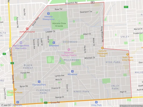
Millswood, Goodwood - Millswood, Unley, Adelaide - Central and Hills, South Australia, Australia, 5034
Millswood Postcode
Area Name
MillswoodMillswood Suburb Area Map (Polygon)
Millswood Introduction
Millswood is a suburb of Adelaide, South Australia, located in the City of Tea Tree Gully. It is known for its parks, gardens, and historic homes. The suburb is home to several schools, including Millswood High School and St Peter's College.State Name
City or Big Region
District or Regional Area
Suburb Name
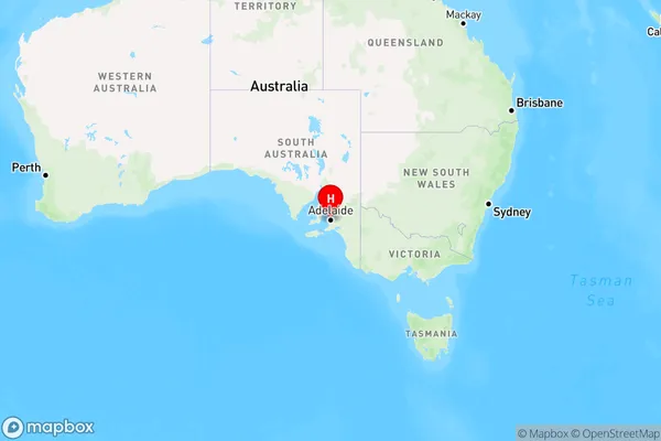
Millswood Region Map
Country
Main Region in AU
R2Coordinates
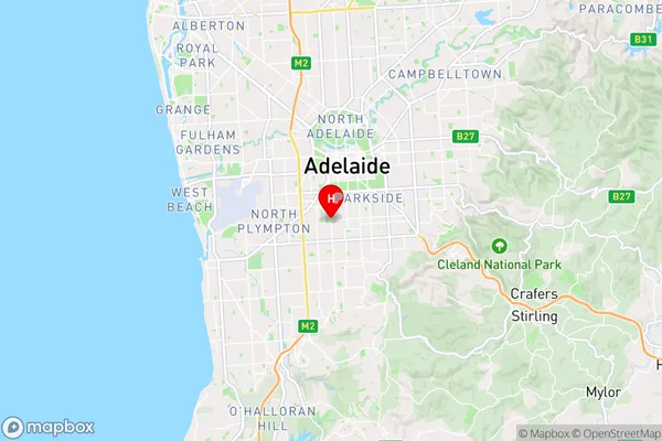
-34.956,138.59 (latitude/longitude)Millswood Area Map (Street)
Longitude
138.58811Latitude
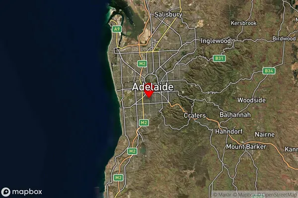
-34.956227Millswood Suburb Map (Satellite)
Distances
The distance from Millswood, Adelaide - Central and Hills, SA to AU Greater Capital CitiesSA1 Code 2011
40107102309SA1 Code 2016
40107102309SA2 Code
401071023SA3 Code
40107SA4 Code
401RA 2011
1RA 2016
1MMM 2015
1MMM 2019
1Charge Zone
S1LGA Region
UnleyLGA Code
47980Electorate
Boothby